Day 13: Coalmont – Coquihalla Lakes Lodge
in Uncategorized
Total Distance Travelled: 78KM
Total Distance Travelled Entire Trip: 613KM
Total Time: 8:54
Moving time: 5:35
Today is the last day of contiguous KVR trail, once the trail reaches the Coquihalla valley very little of the original right of way exists. The weather forecast was calling for rain, but luckily it rained overnight and the weather system passed through leaving mostly sunny skys. From Coalmont to Coquihalla Lakes Lodge there is effectively no civilization, aside from the small community of Tulameen 7KM away from Coalmont. I wasn’t able to locate any B&B’s to stay in anywhere along the path, so I have to make it to the lodge one way or another.
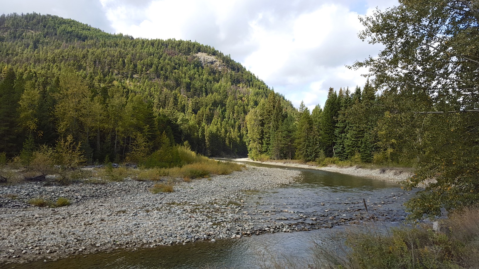
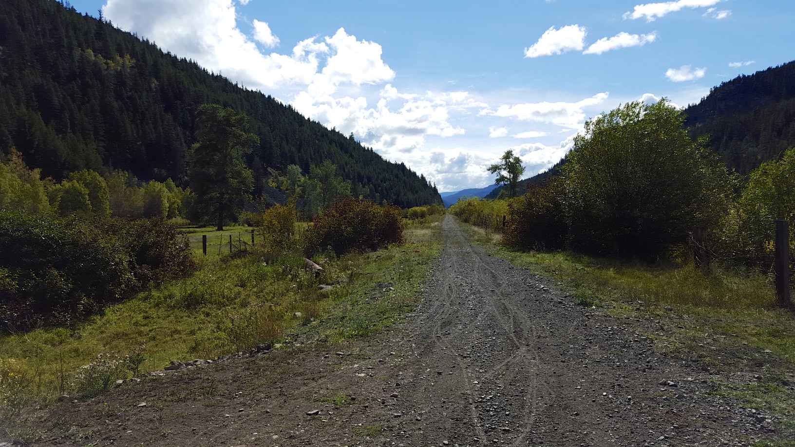
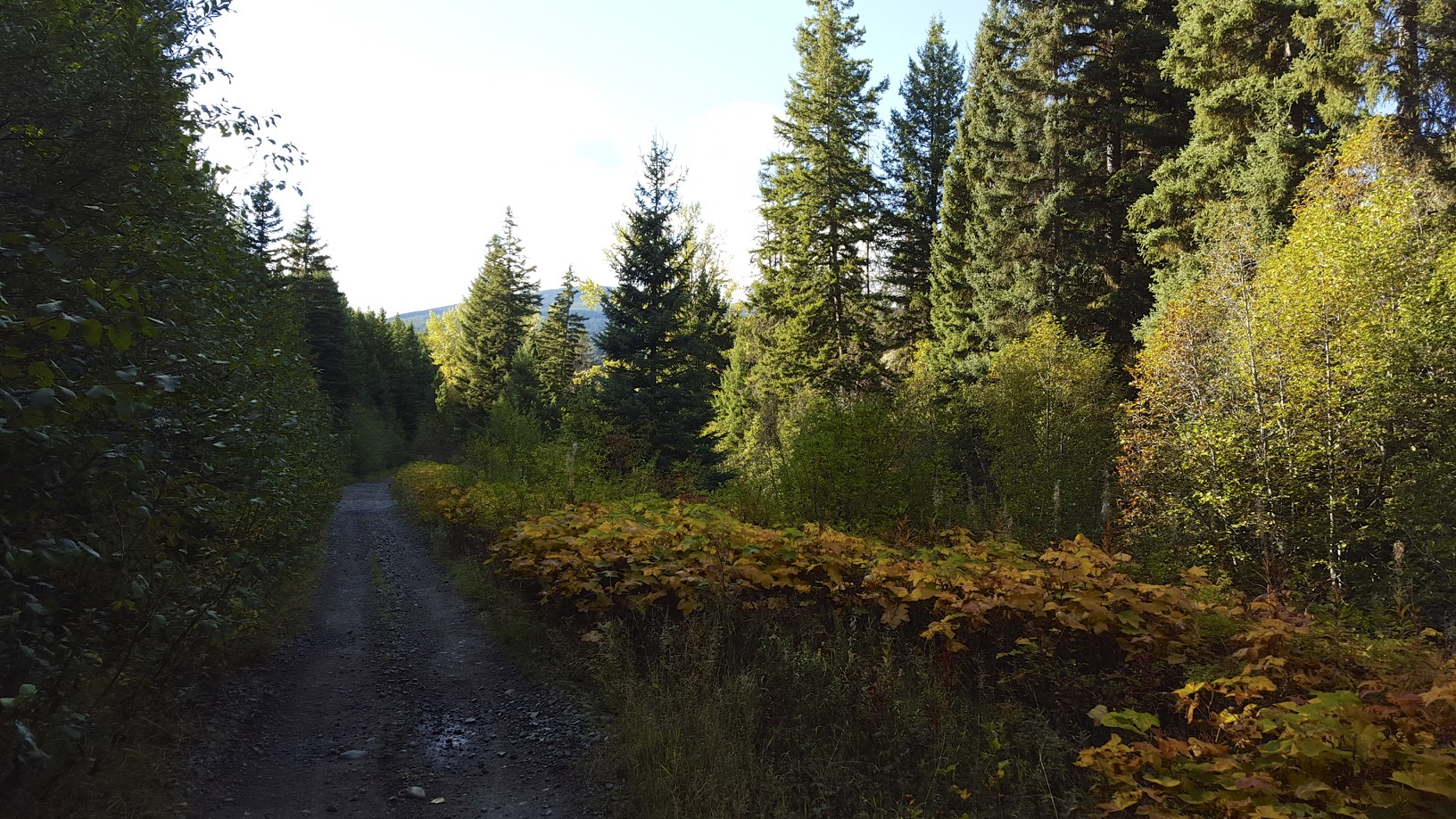
Tulameen river
The trail starts out following the Tulameen river.
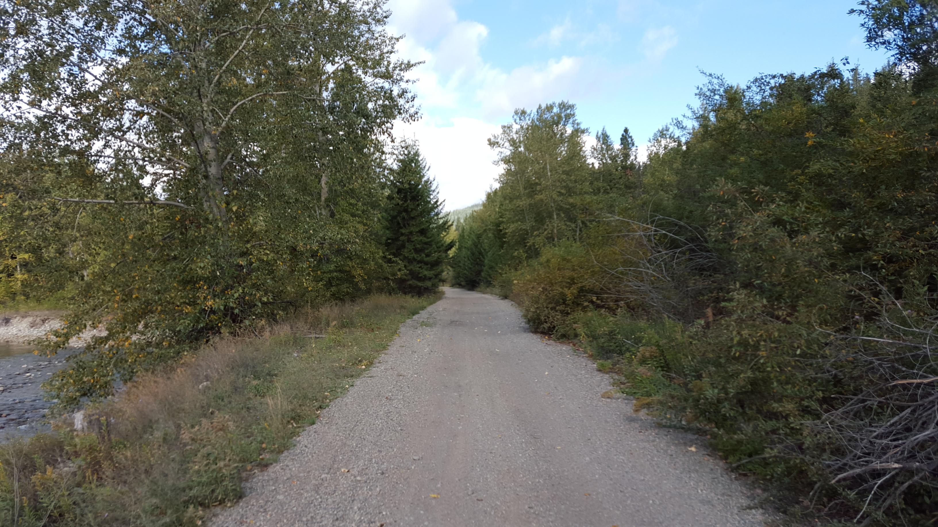
The trail
The trail was in decent shape overall at the start of the day, although as usual it was a bit sandy/rocky. I quickly arrived at the town of Tulameen:
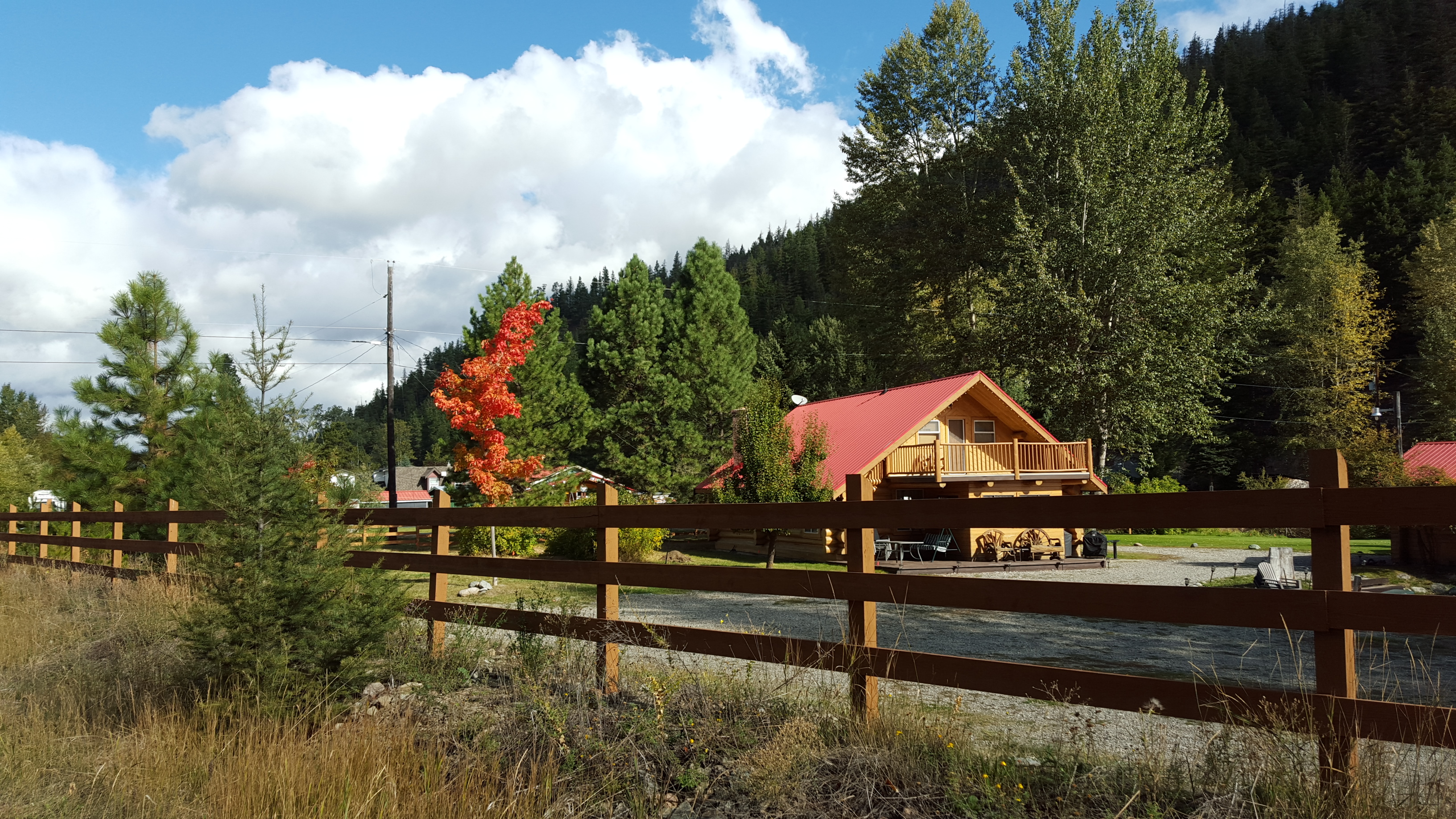
Fall colors in Tulameen
I stopped off the grab a few more supplies at the Tulameen store, I remembered I didn’t have anything to cover for lunch tomorrow. Although I could get by with Gatoraid and cliff bars, having a real lunch is much more enjoyable. I picked up some sausage and cheese to pair with the buns I got in Princeton. Ironically the store stocked Bothwell cheese from Manitoba.
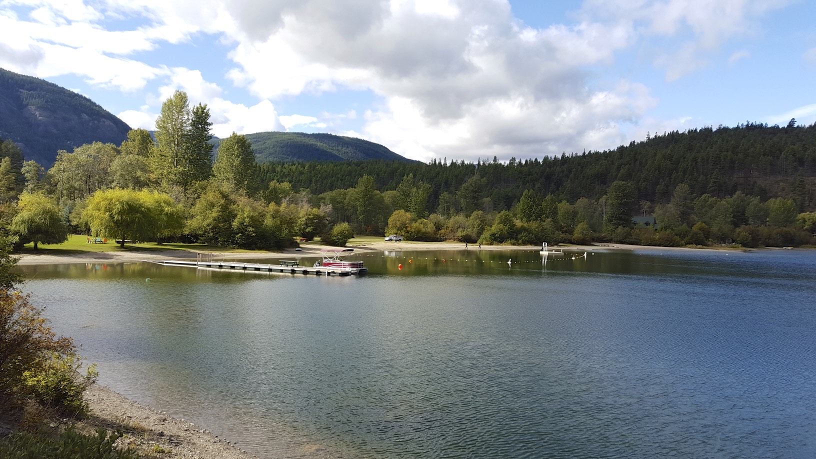
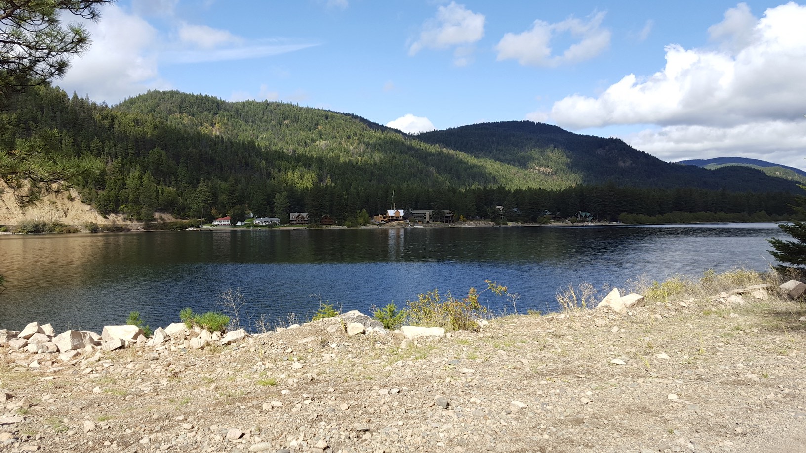
Tulameen is right on Otter Lake, which was beautiful:
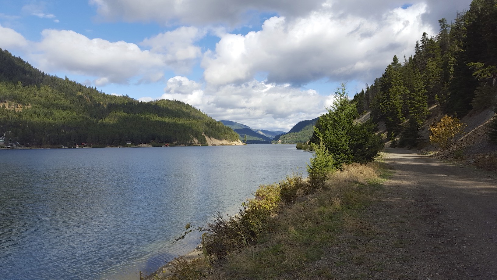
Otter Lake
The lake seemed to go on for ever, and the KVR trail was sandwiched between the lake on one side and the slopes of the mountains on the other.
Otter Lake
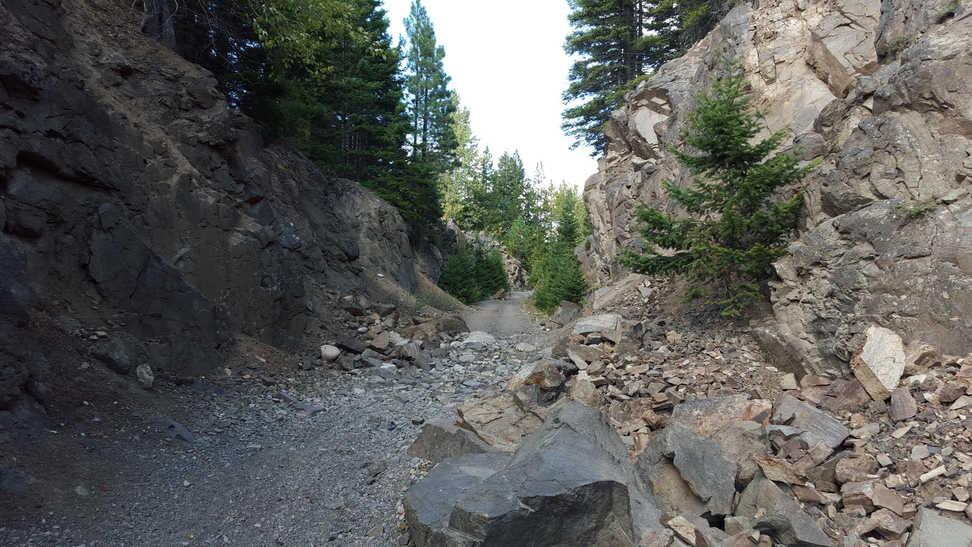
Along the lake, there were some impressive rock cuts.
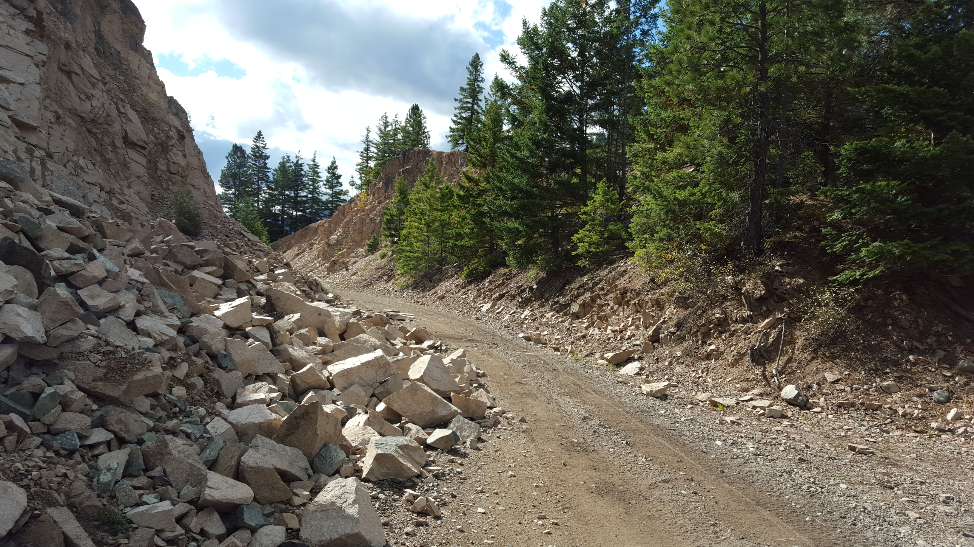
Rock cut
Given that highways tend to go up and over these kinds of obstacles, it’s nice to be able to go through them and save a climb.
Nearing the end of the lake
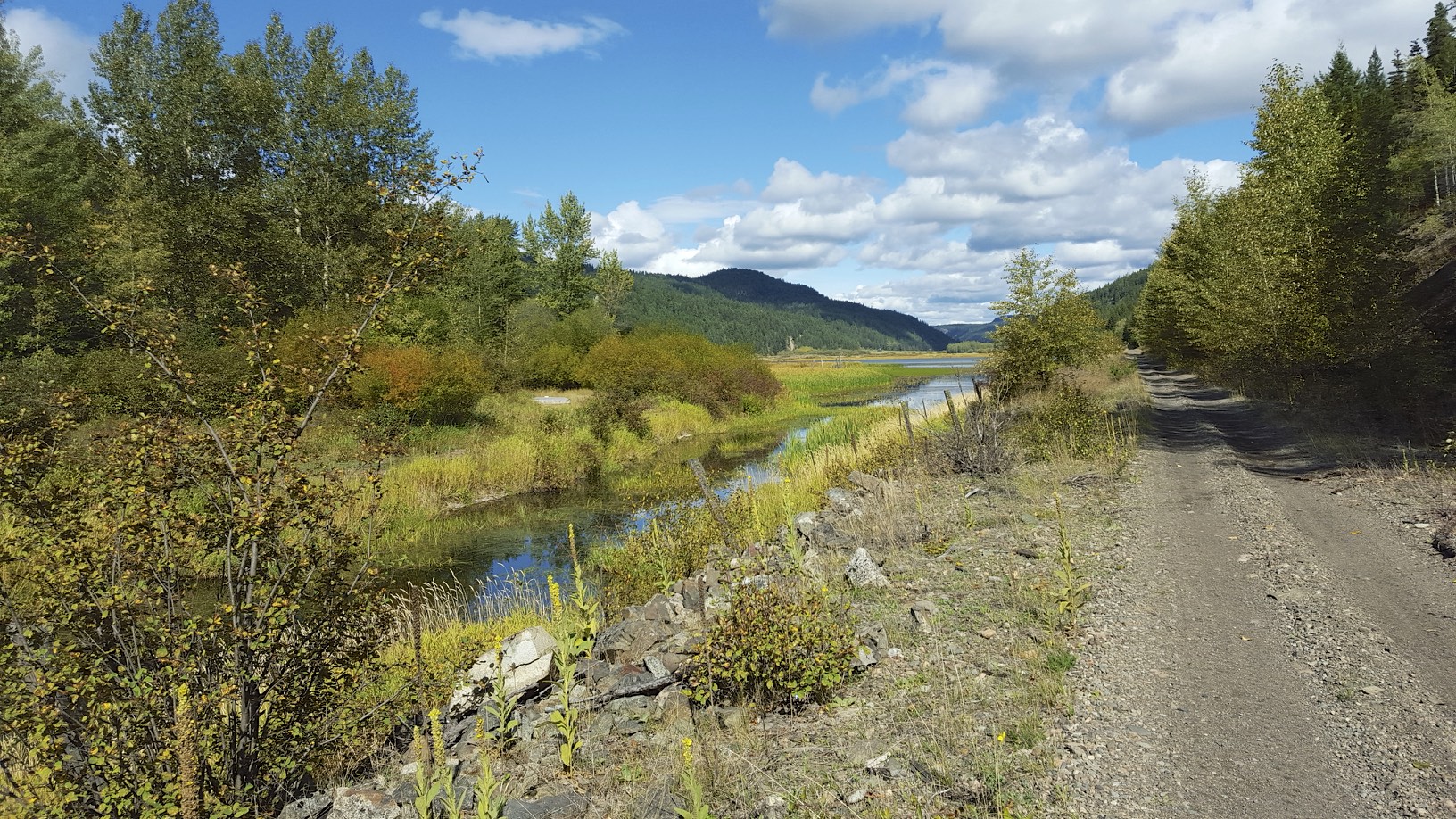
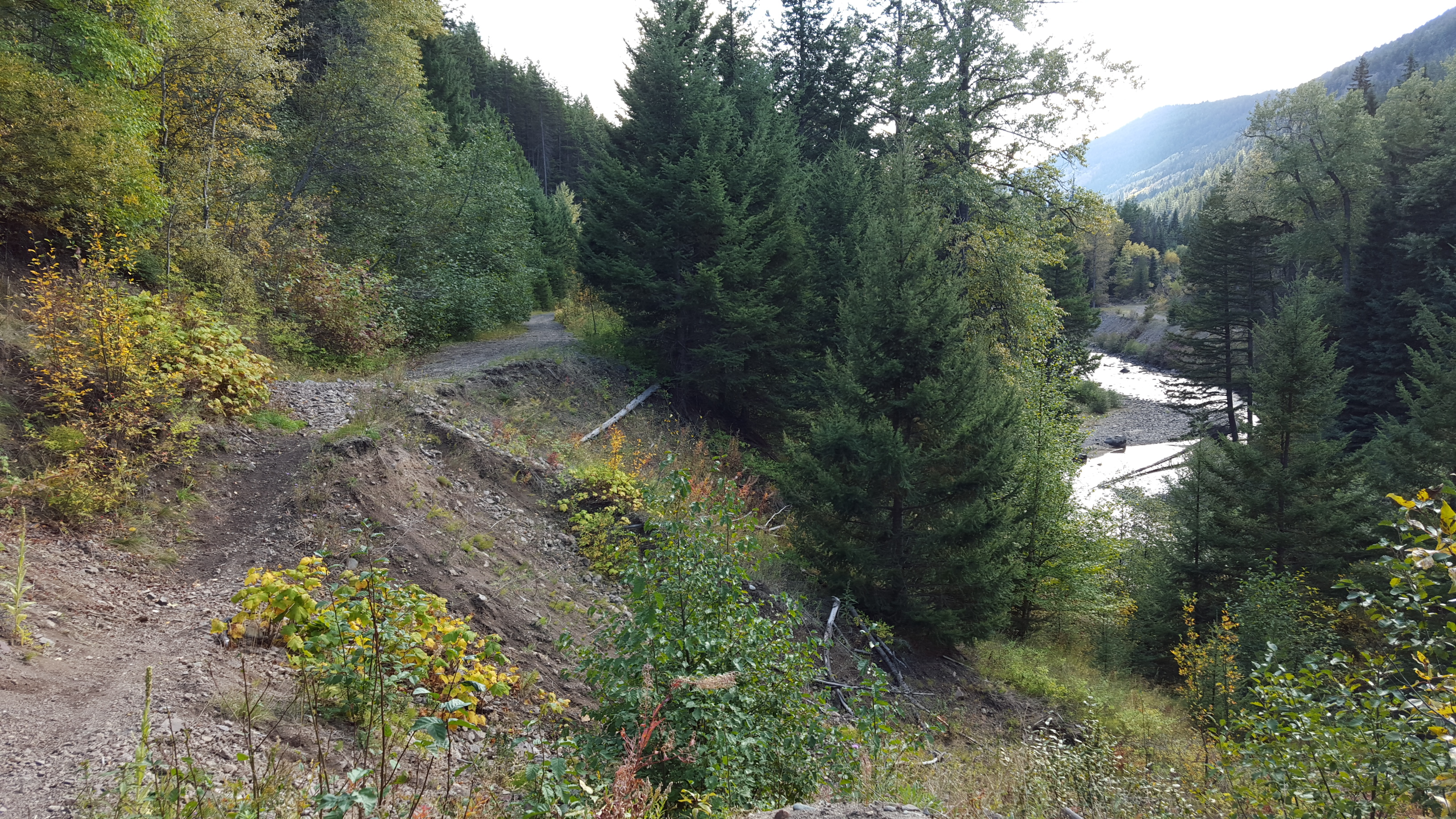
Much of the KVR trail tends to be up on a mountainside, which has it’s pluses and minuses. The views you get are spectacular when the view opens up, but much of the time you are in a tree tunnel. Today was different, most of the day was spent on the valley bottom with great views all around.

the valley (click to enlarge)
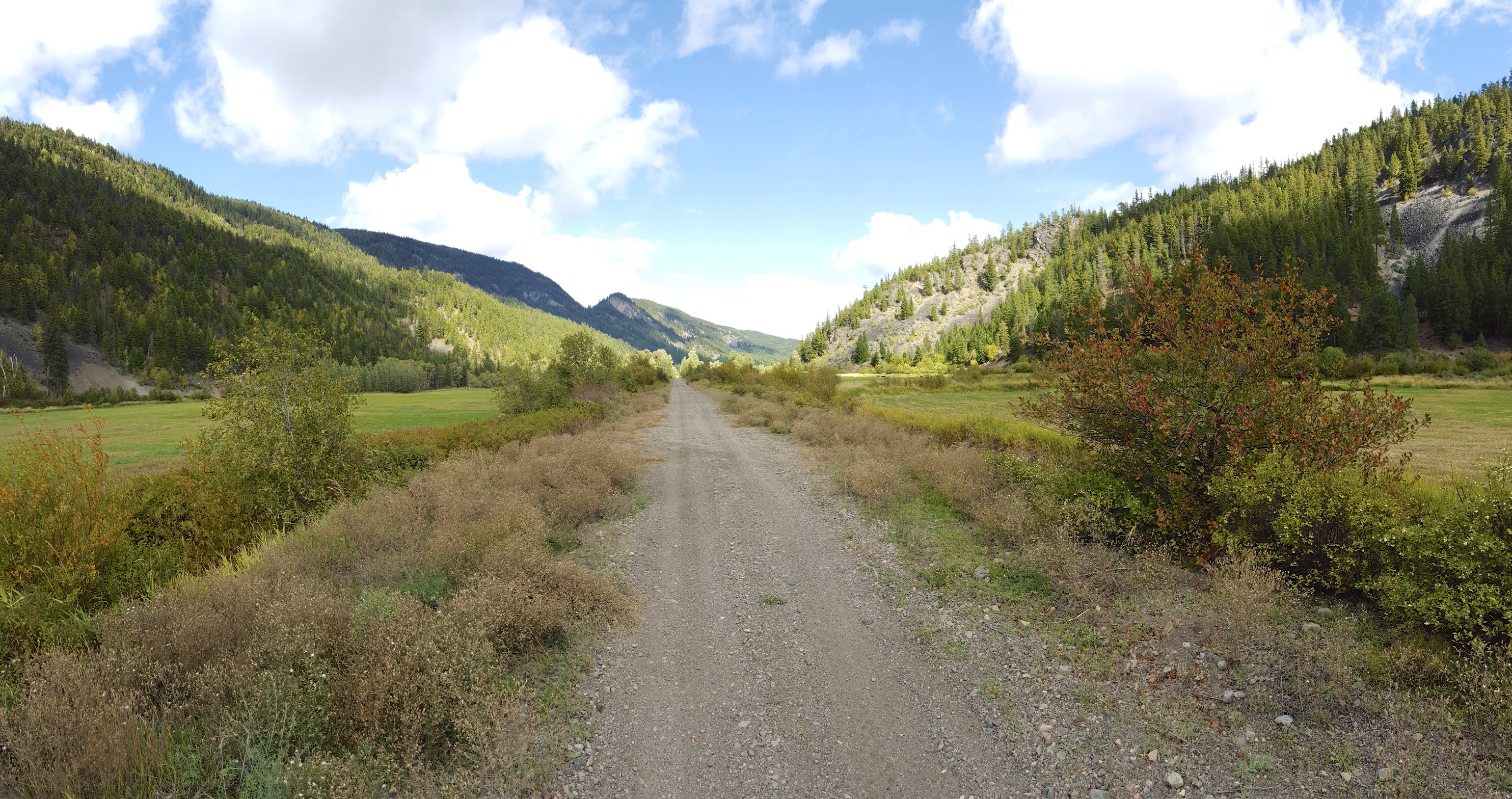
Another view
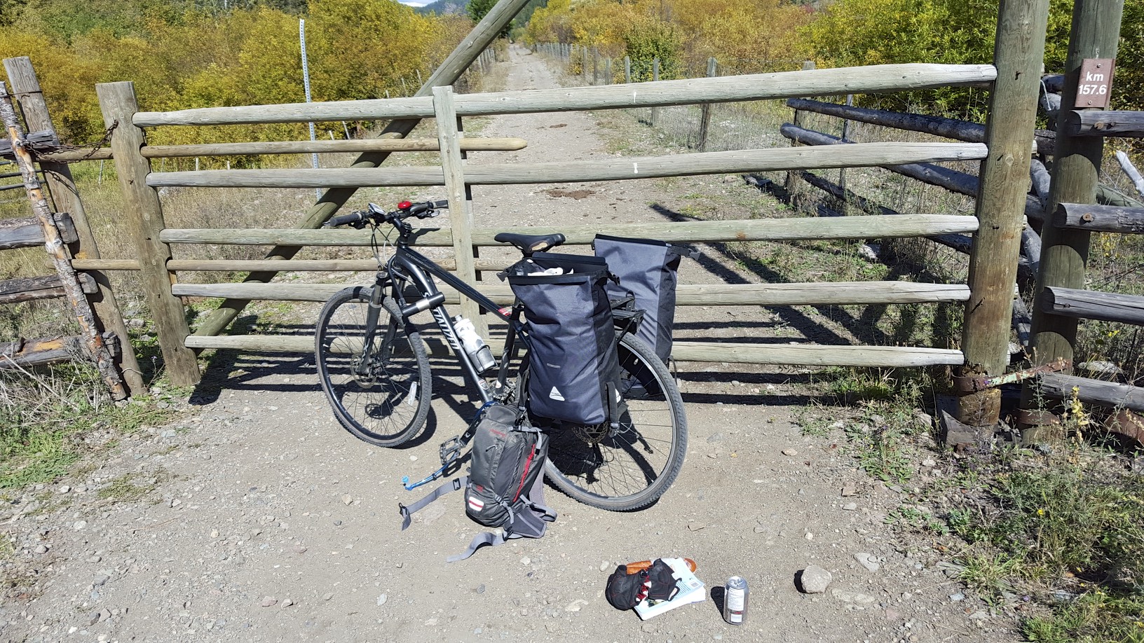
The bottom of the valley generally had cattle grazing and hay, which meant there were many gates to open and close. Sometimes there was only 1 or 2KM between gates. The worst type weren’t actually a gate, it was really a flimsy piece of barbed wire fence that was tied to a fence post. To get through you untied it, and the barbed wire fence dropped to the ground. Given barbed wire and bike tires don’t really go together, mostly I carried my bike over the downed fence and then had to stretch the fence back into place. I can deal with opening and closing gates, but if your not careful you could easily cut yourself on one of these fences. They aren’t exactly family friendly.
Along the way I met a group of cyclists heading to Osoyoos on the trail, 2 ex-pat New Zealanders, one of their boyfriends and one of the NZ’ers mother who still lives in New Zealand. They had a few mountain bikes, but also some city bikes that had no suspension. They weren’t fancy carbon bikes either, I can’t imagine the ride would of been very pleasant.
More great views
Lunch
After a while it was time for lunch, and there was a lack of convenient picnic areas so I stopped at one of the many gates along the trail. There was a ridiculously tall tree nearby:
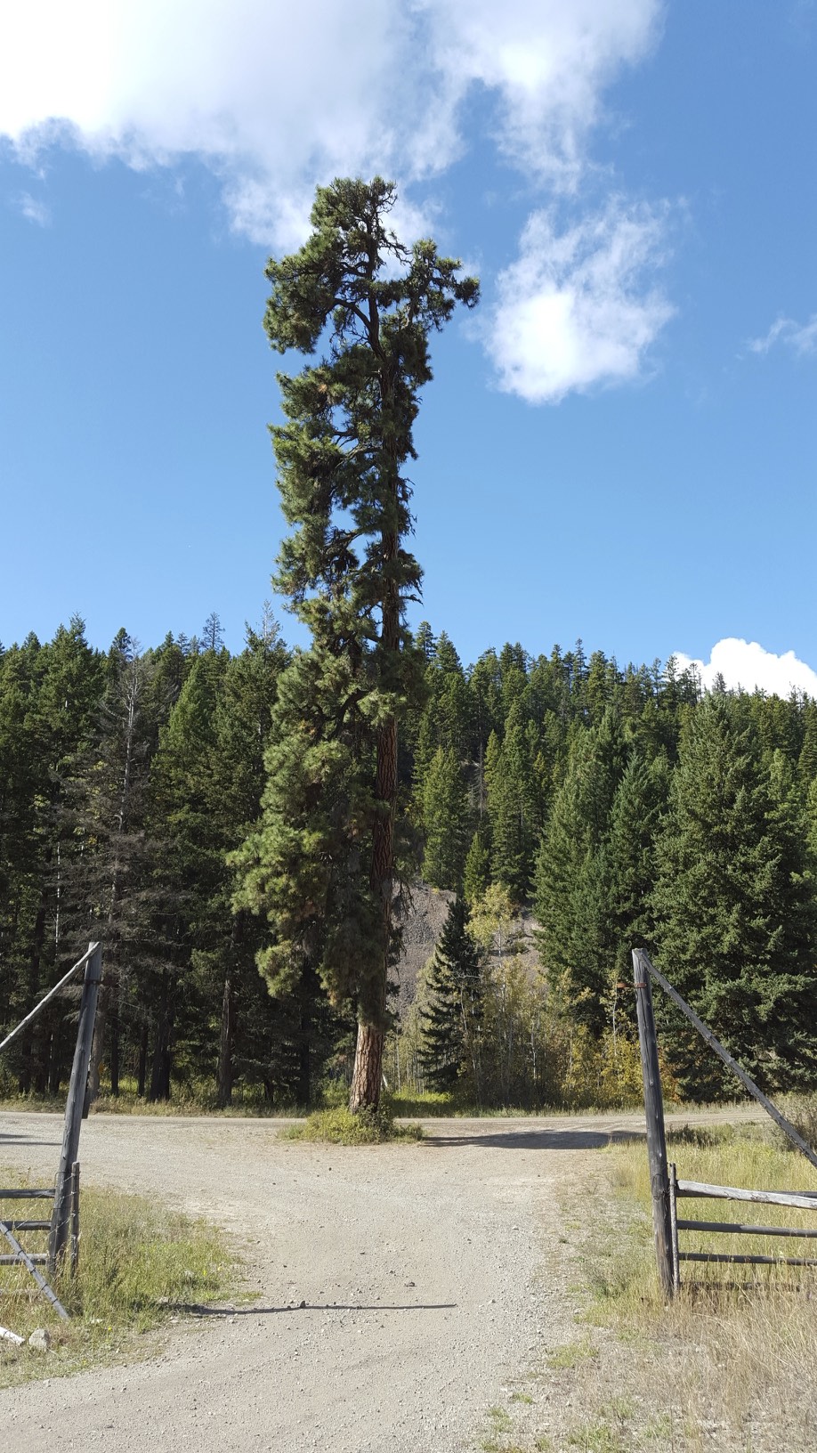
tall tree
Fall colors have started to show up in the landscape in the past few days, but particularly today you could see fall in many of the bushes along the way.
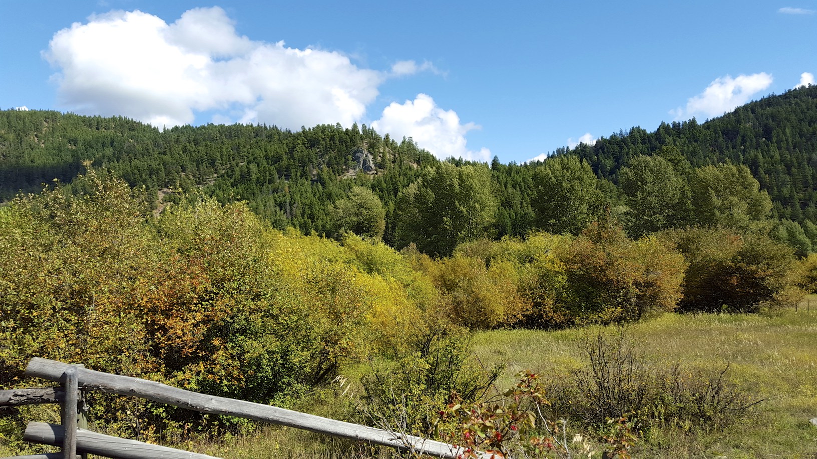
fall colors
the trail (notice all the bike tracks)
At Thalia, a trestle over the road had been burned so you had to climb down a steep embankment, then back up the other side. Some trail maintainer made this creative sign to direct cyclists:
nice sign!
As the trail approached Brookmere, the valley narrowed considerably:
In the narrow valleys especially, I wished I had brought bear spray with me. I realize bear attacks can happen anywhere, but especially in a narrow valley there isn’t a good escape path for the human or the bear. I also forgot to mention that I have seen 2 bears on this trip, one between Christina Lake and Grand Forks. In this case the bear was scared off from the highway and ran right across the KVR trail into towards the river. I doubt the bear even saw me. The second time I saw one descending into Penticton, the bear obviously heard me coming and decided to run off towards a hydro corridor. I have never seen bears from a trail before this trip, and hopefully I don’t have any other close encounters with them.
Finally I arrived at Brookmere, which has the last standing KVR water tower.
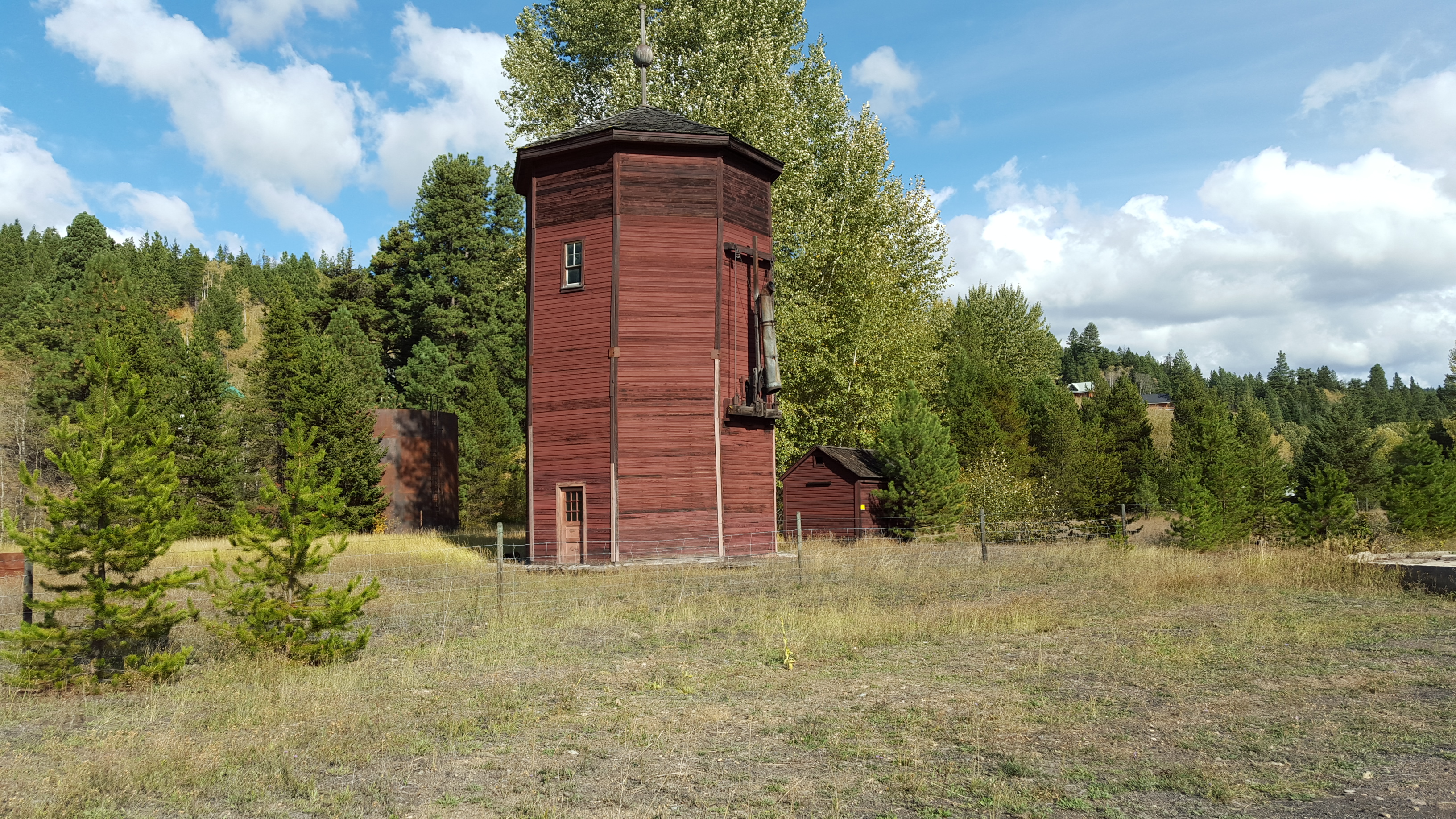
Water tower
At Brookmere I wanted to add a bit of air to my tires, one tire on my bike has a presta valve and the other has a schrader valve. I easily pumped up the tire with the schrader valve, and assumed my pump could fit either time of stem like the floor pump I have. I just purchased the pump I have with me shortly before the trip, and never actually tested it. I pushed the pump up to the presta valve and it of course just let air out of the tire, and considering I was already running the tires at a fairly low PSI the tire was now severely under-inflated. It took me about 15 minutes and some Google searching to figure out I had to partially disassemble the pump head and flip a part for it to support Presta valves. Luckily I did figure it out though, as the chances of finding someone with a pump that supports presta valves in Brookmere was approximately zero.
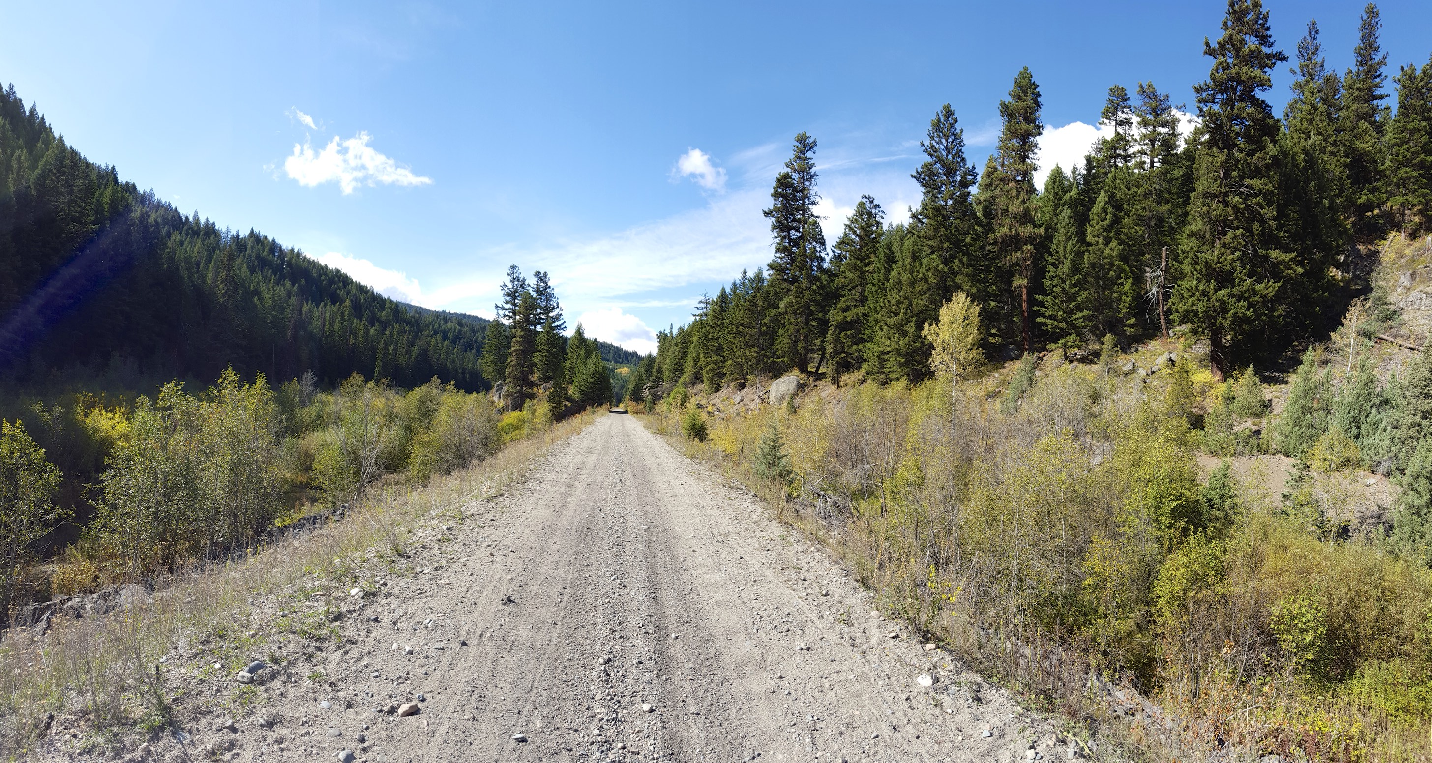
Brookmere was the end of the Princeton subdivision, and the start of the Coquihalla subdivision that ran to Hope. Leaving Brookmere, the valley narrowed again:
Narrow valley
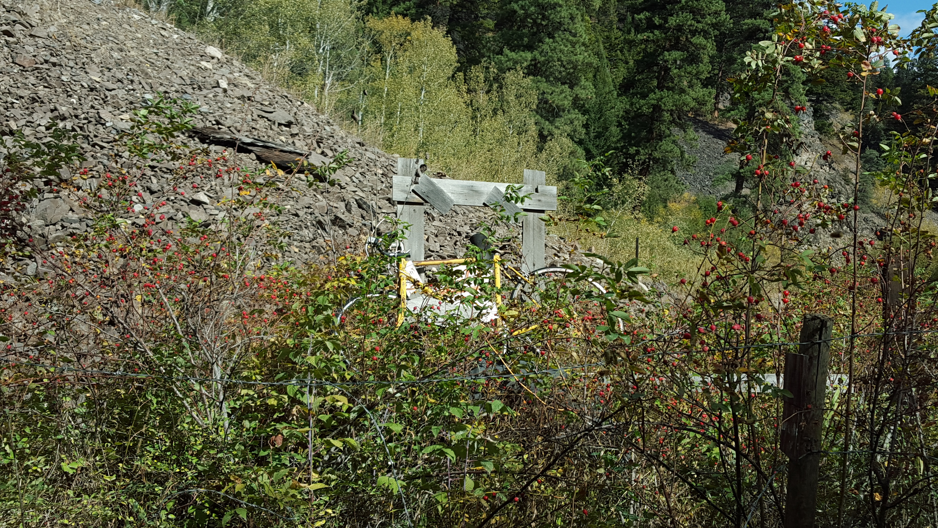
The trail maintenance, or lack thereof was also quite obvious:
Rock slide
washout
From Brookmere I could already see the rugged Coquihalla mountains in the distance, and the KVR slowly joined up with the Coquihalla valley. I finally got to the last piece of the contiguous KVR trail.
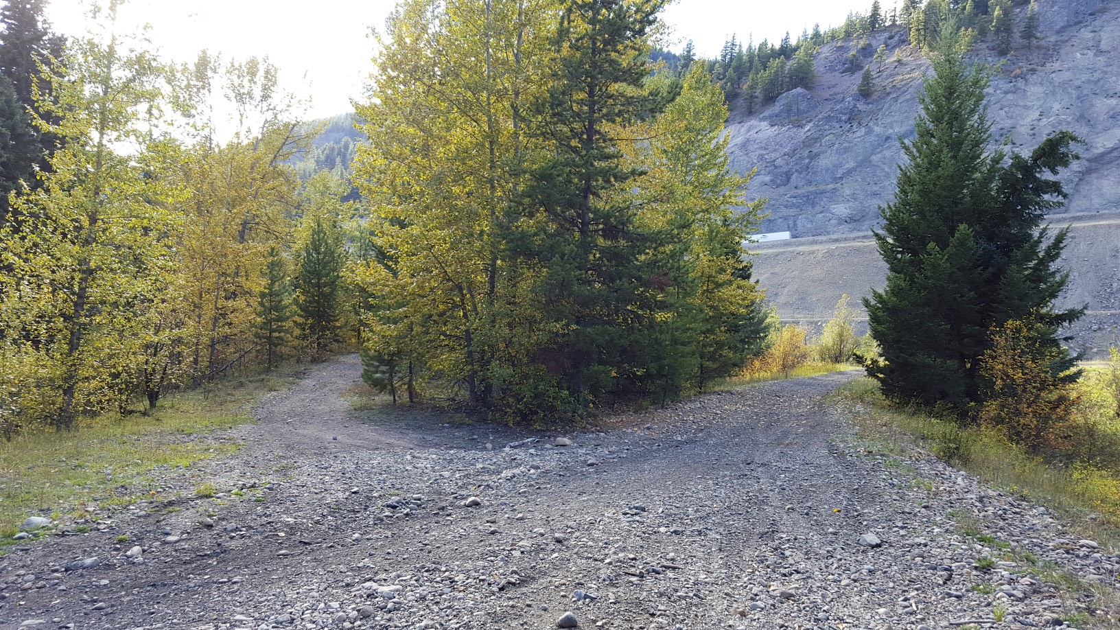
There was a switch here, the left hand track followed the Coquihalla subdivision to Hope where it connected to the mainline for Vancouver. The right hand track went up to Merritt, and connected to the Nicola valley and joined the Fraser Canyon at Spences bridge. The KVR couldn’t keep the Coquihalla subdivision open during the winter, so traffic was re-routed down the Nicola valley and to the Fraser canyon in the winter months.
The trail becomes extremely rough at this point, so I decided to join the highway. The Coquihalla is a 2 line divided expressway with a speed limit of 120KM/h. There is a shoulder, but it doesn’t exactly scream bike friendly.In order to join the highway I had to bike 3KM north over a hill to get to a clover leaf where I could actually join the highway, than bike 3KM back to the same spot I was. I will say that the grades heading south on the Coquihalla are very reasonable, my Garmin registered them around 1-3%. When the KVR trail joins the Coquihalla valley, you are below the summit. The last 25KM to my accommodation was climbing to the peak of the summit.
Right at the exit for my accommodation, they were re-paving the overpass and the construction worker told me I had to go around to the next exit on the highway. The worker said the next exit was 4 minutes by road, I didn’t have good cell reception at the time to look at a map and check but I had my doubts whether another exit would be close by. Instead I biked a bit further down the highway, cut across the median and took the northbound exit which was open. Upon closer examination of the map I don’t believe there was another exit that would have lead to my accommodation.
The Coquihalla Lakes lodge is a rustic accommodation, no sheets or pillows are provided. About the only thing that is provided is the cabin itself, you have to bring everything else. I had purchased a sleeping bag liner that doubled as a compact pair of sheets, but there was no way I could bring a pillow since there was simply no room in my bags. Instead I rented a pillow for the night for $5. The cabins have some baseline electrical heat, but it only seems to be enough to keep the pipes from freezing in the winter. To actually warm up the place, you need to light a fire in the wood stove. I can immediately understand why people were so happy to switch to natural gas heating. By this time it was 7C out and about 6:30 or 7PM. The last thing I wanted to warm up after a bike ride was start a fire and wait 30 minutes, but I managed to get a fire started and warm up the place. I than cooked my steak for dinner on the BBQ and relaxed, given that the place is located right off the highway it had an LTE connection. Funny to think you have that on a high mountain pass.
As I went to bed, the other downside of wood heat was obvious, The sleeping area was up a ladder on the second floor of the cabin, and it was a stifling 25C or so. I ended up opening the window to get a bit of fresh air in. Later in the night I woke up and it was starting to get cold, I obviously closed the window and discovered the fire was completely out. I wasn’t going to attempt to re-start the fire in the middle of the night, so I put on a shirt and my cycling jacket and that provided enough warmth to sleep until morning.