Katy Trail: Day 2 St Charles – Hermann
in Uncategorized
Total Distance Travelled: 106KM
Total Distance Travelled Entire Trip: 106KM
Total Time: 7:49
Moving Time: 4:39
The day started with an excellent breakfast with my hosts at the Frenchtown Inn, an excellent B&B located in St Charles a few blocks from the Katy Trail. They have only been open around a year, and I was there first Canadian guest. There were two other couples staying at the B&B, and both were from Missouri just on a local vacation.
You never really know if you like a bike until you’ve ridden it for a couple hours, so I was a bit nervous how the cyclocross bike would work out given the milage I was going to put in over the next 4 riding days. A road bike stance is actually much more comfortable for extended rides since your weight is balanced between your handlebars and seat compared with a typical hybrid or mountain bike. This can also cause issues with your back and neck though, but those issues usually aren’t apparent until you have been on the bike a while.
I ended up leaving around 9:30AM, and jumped on the trail right at St Charles station. The maintenance of the Katy trail is excellent, it’s in better shape overall than the city trails like the Harte trail. The trail is made of crushed limestone that is packed down. This creates a trail surface that is almost as good as pavement that you could ride a true road bike on if you wanted. It’s far smoother than most Manitoba highways, even the “good” ones.
The trail runs close to the Missouri, but the river isn’t always visible. The banks of the Missouri are naturally wooded given they provide a reliable source of water and there are no fires to control the tree growth. Much of the trail looks similar to this:
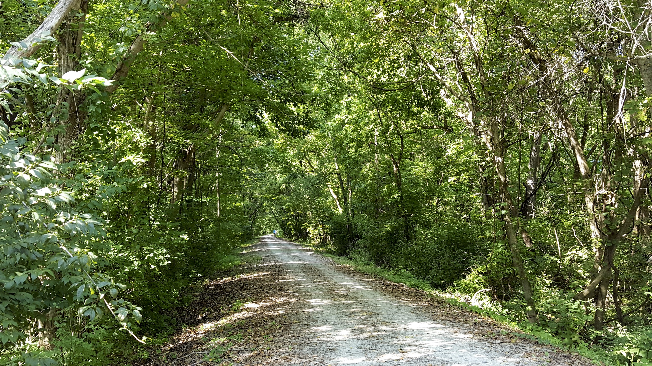
KTY trail
The trail was very busy out of St Charles with tourists and locals making day trips out of town. For the first 15 or 20 miles I was passing people every couple minutes. There are quite a few bridges along the route which provide a more open view of the landscape.
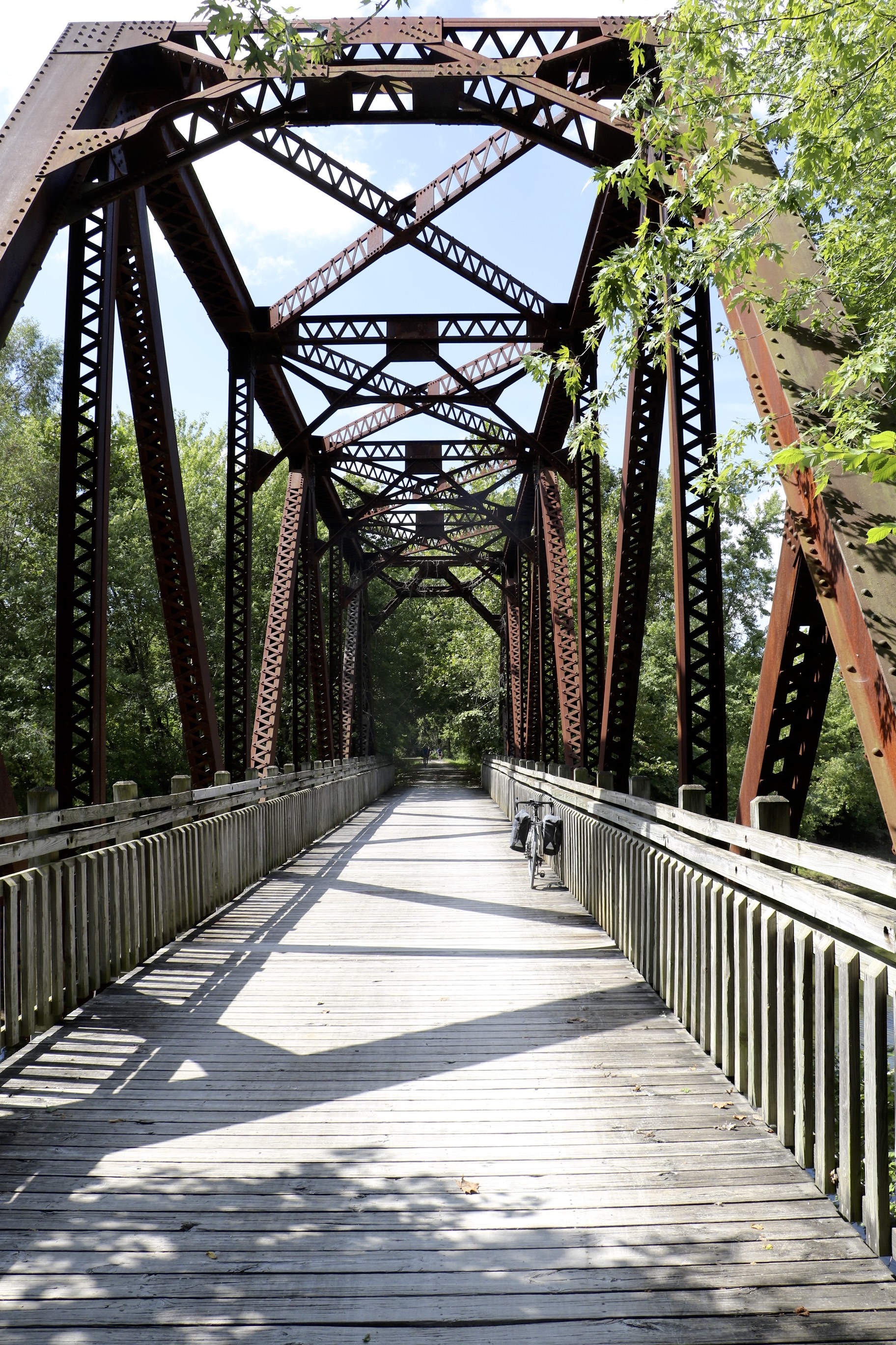
KTY Bridge
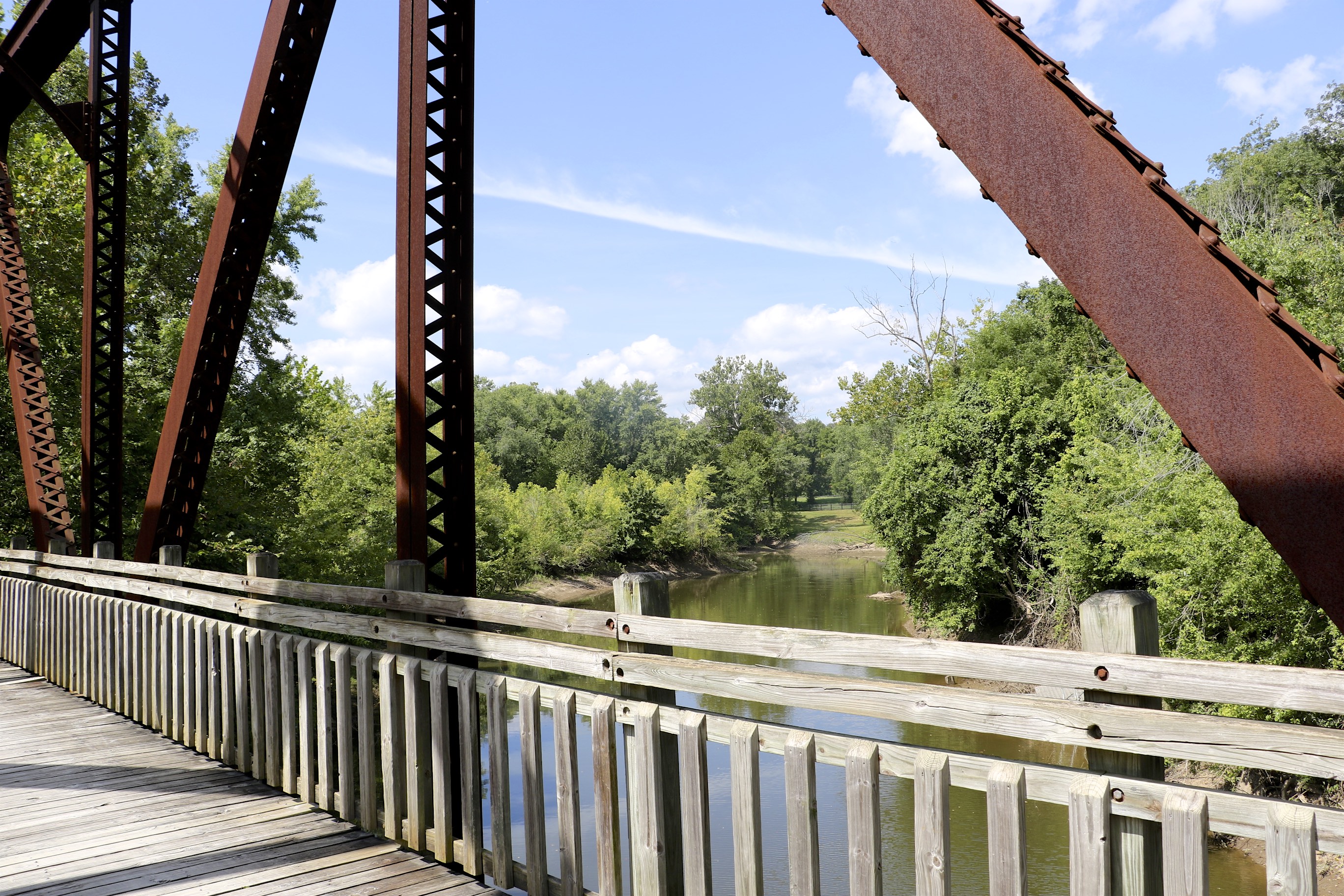
View from the bridge
Occasionally the views open up and give a good view of the Missouri river.
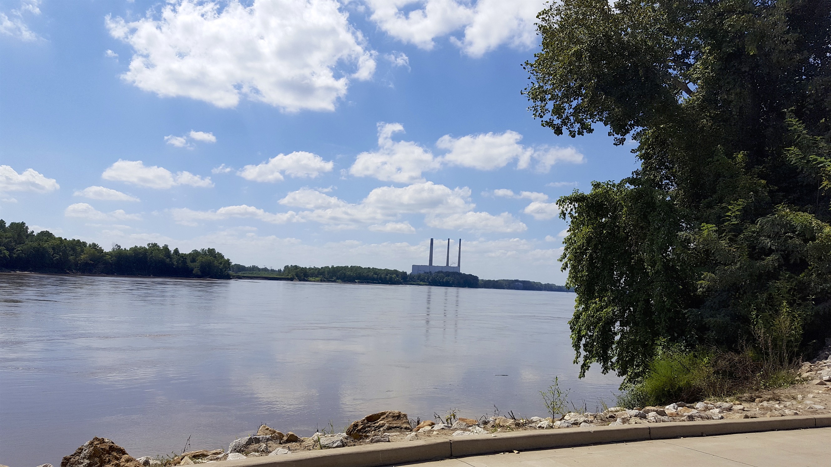
Missouri River
The trail itself has trailheads every 10-20 miles with maps, washrooms, and sometimes bike tools and water. My first real stop was in Marthasville where they conveniently had a brew pub right next to the trail.
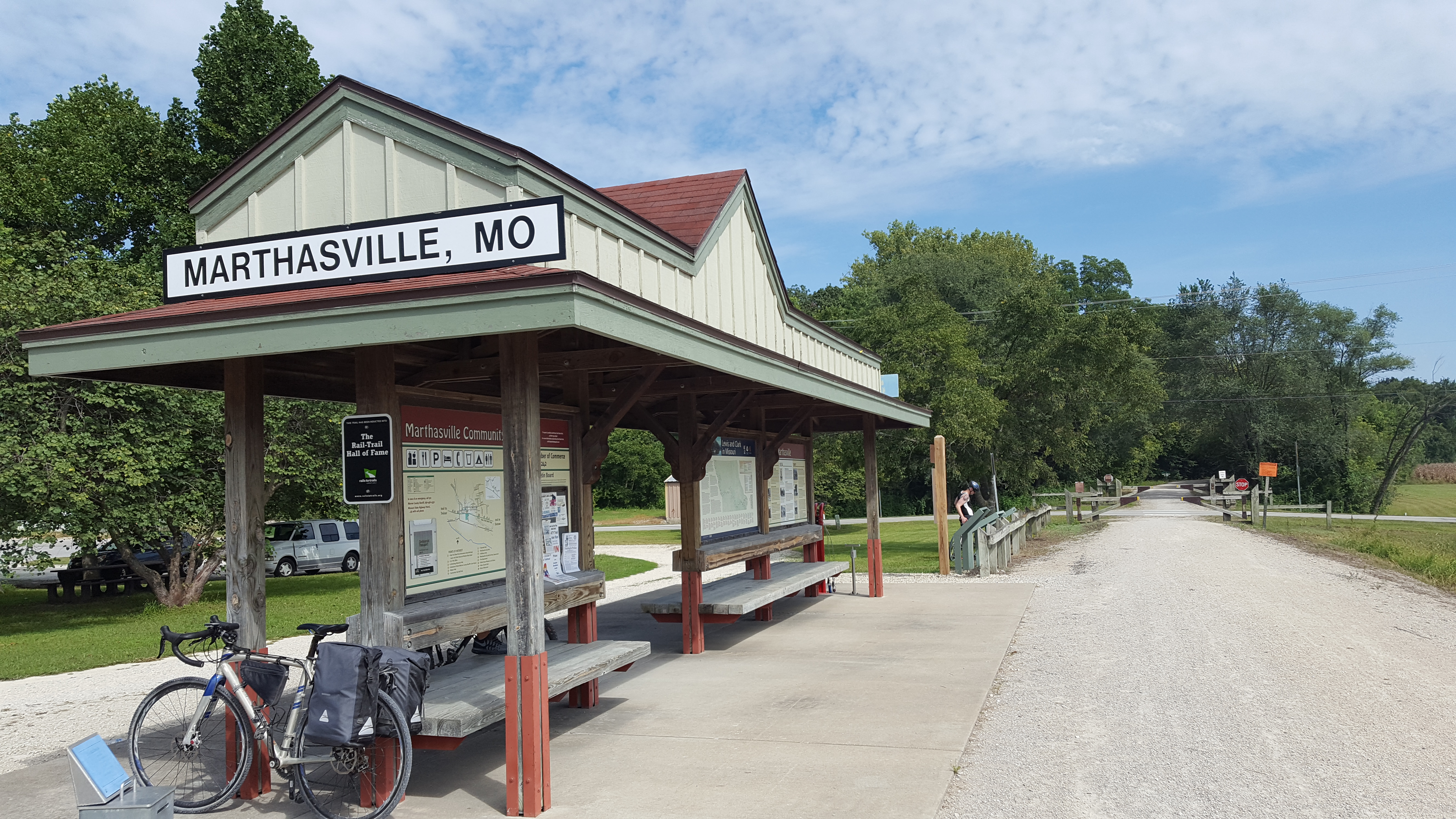
Marthasville
I had started with 3 liters of water in my Camelbak backpack, and given the temperatures were above 30C with high humidity I had nearly used all of my water by the time I biked the ~40 miles to Marthasville. The brewpub conveniently offered free water to refill my backpack, and I grabbed a stout and a sandwich for lunch. The problem with sitting around and having lunch with a beer is you tend to dehydrate pretty quickly in this climate. Lunch took longer than I would of liked due to the place being very busy, so 50 minutes later I was on my way.
A bit further down you could start to make out the bluffs along the river.
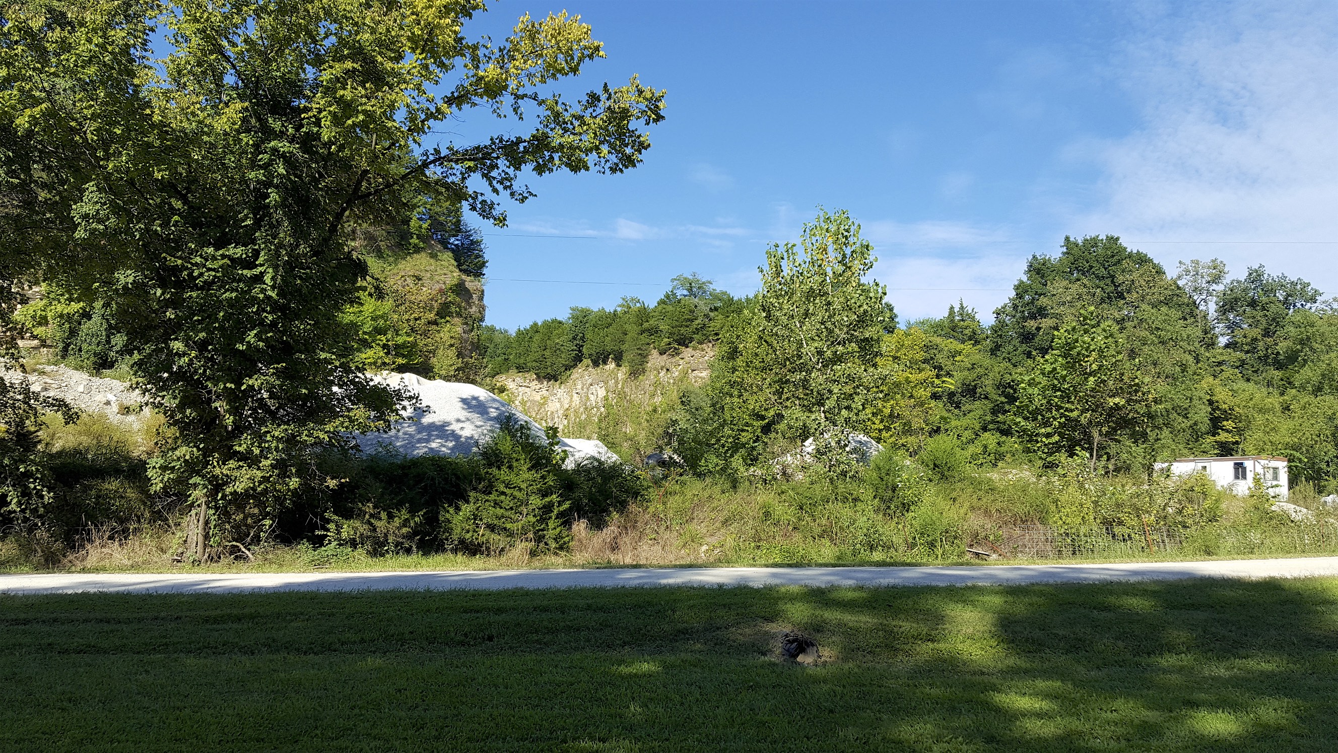
Bluffs
I wouldn’t say Missouri has mountains, but they do have some pretty decent looking hills.
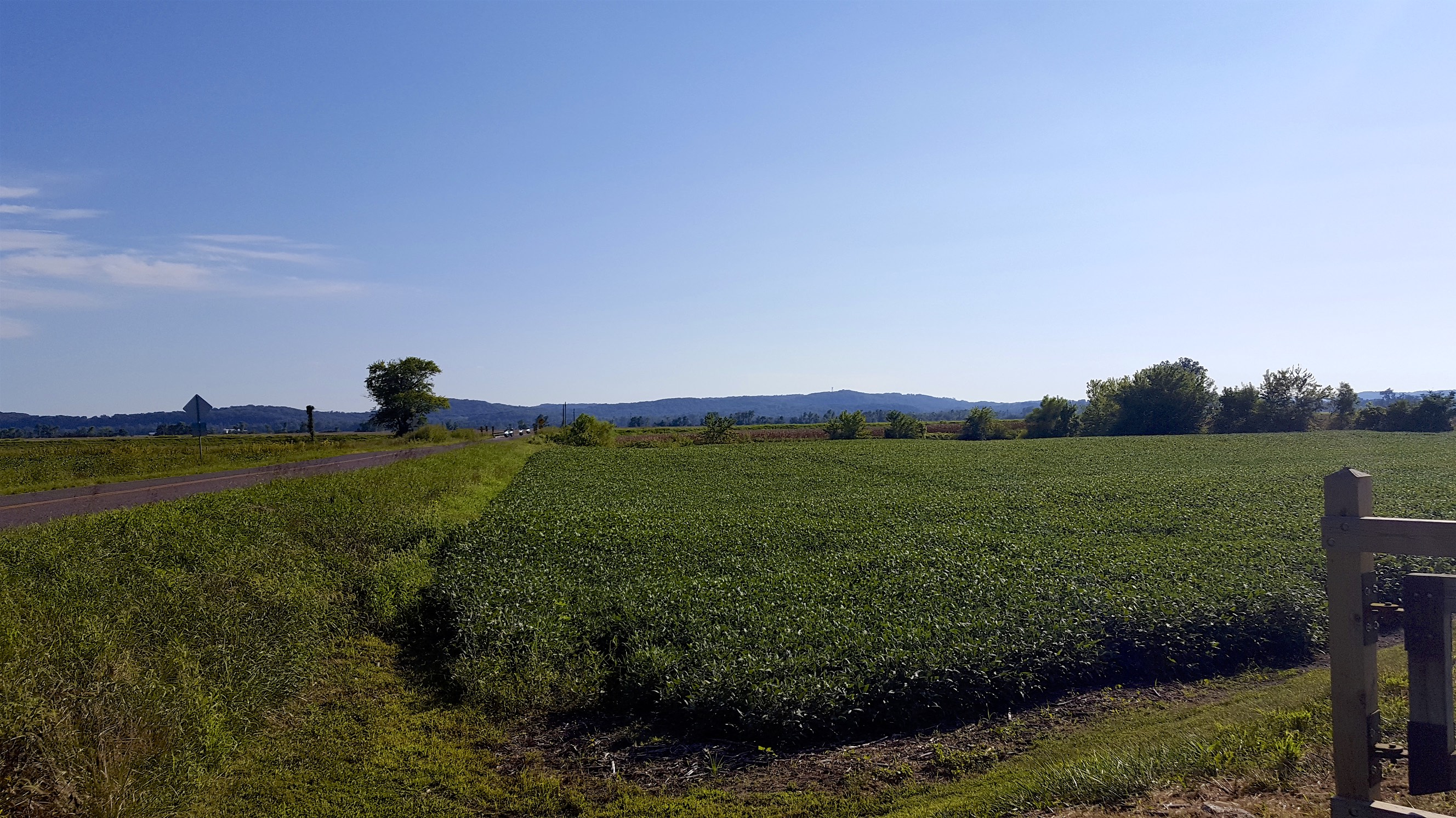
Hills
I probably should have done a bit more research up front, but there was no water available between Marthasville and my destination for the day of Hermann. Even though I had 3 liters with me, I used on average 1 – 1.5L an hour in the heat. I ended up running out of water for about 15KM until I arrived at McKittrick which is where I turned off the trail for the day. It should be obvious, but always have reserve water with you.
I ended off in Hermann for the day which had a nice downtown with some beautiful historic buildings.
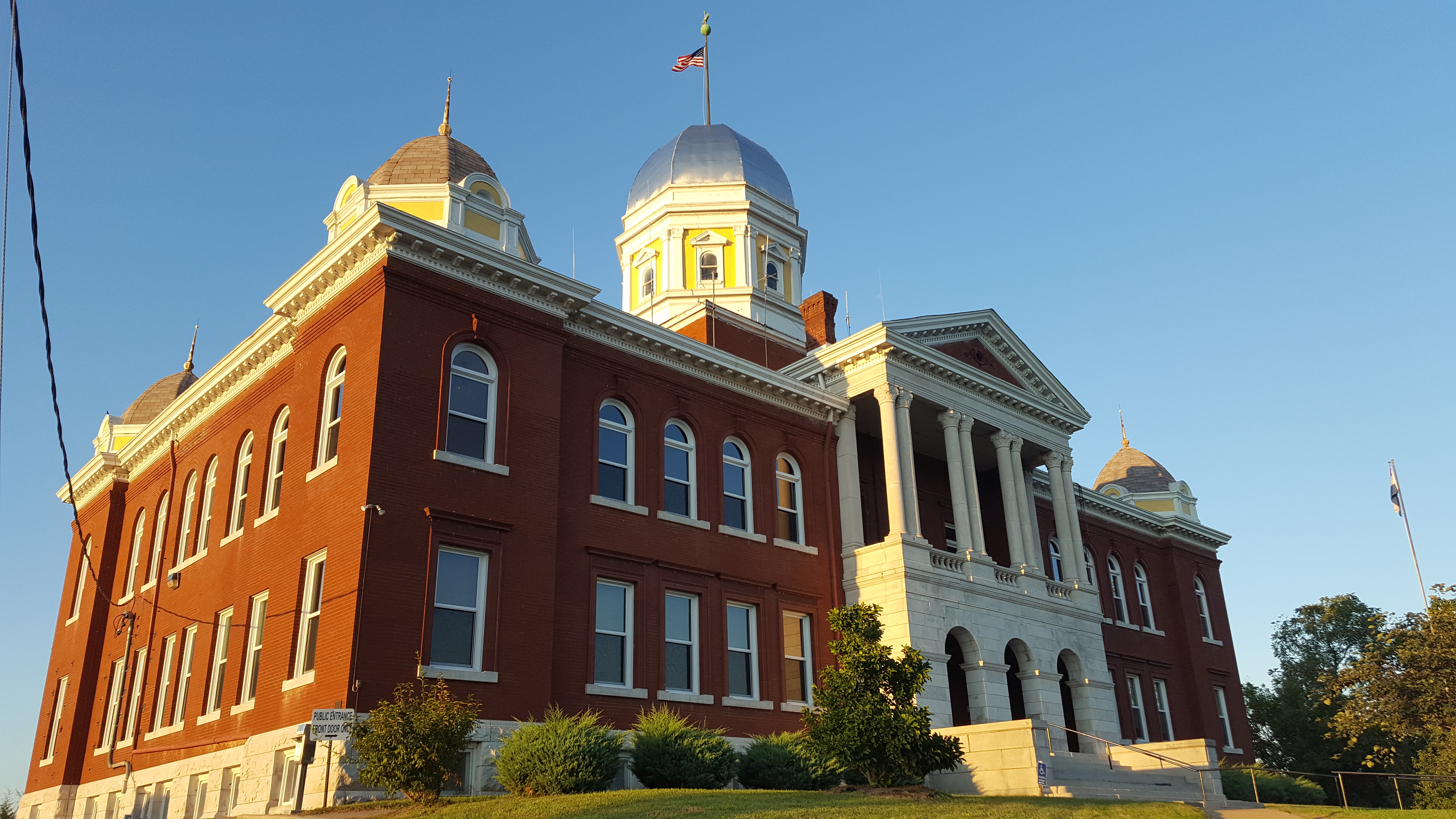
Historic courthouse