Day 12: Princeton – Coalmont
in Uncategorized
Total Distance Travelled: 20KM
Total Distance Travelled Entire Trip: 535KM
Total Time: ~1:30
As mentioned before, the KVR trail to Coalmont was closed due to a slide. That means I would have to take the highway instead. In theory, 20KM on the highway shouldn’t be bad except for the fact you gain 362M in about 10KM. For those not familiar with cycling, that’s a lot. This is what the grades looked like:
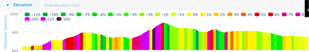
Grades (click to enlarge)
The rail trail for the same route has a grade around 1% for comparison. That’s because the rail trail sticks close to the river the whole way, however there wasn’t enough room to put the highway at river level as well. Instead they routed the highway high above the valley precariously clinging to the side of a cliff.
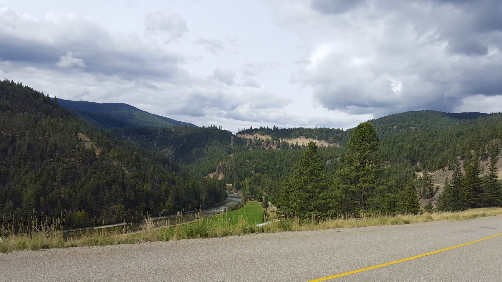
The first climb out of Princeton
When climbing these kind of grades it becomes a stop and go affair. Go for a couple hundred meters, stop take a rest, go for another few hundred meters. When the grades become more sane, than regular progress continues. It’s worth noting that this would be a challenging route on a road bike, with a hybrid bike with 30 pounds of stuff it’s more difficult still.
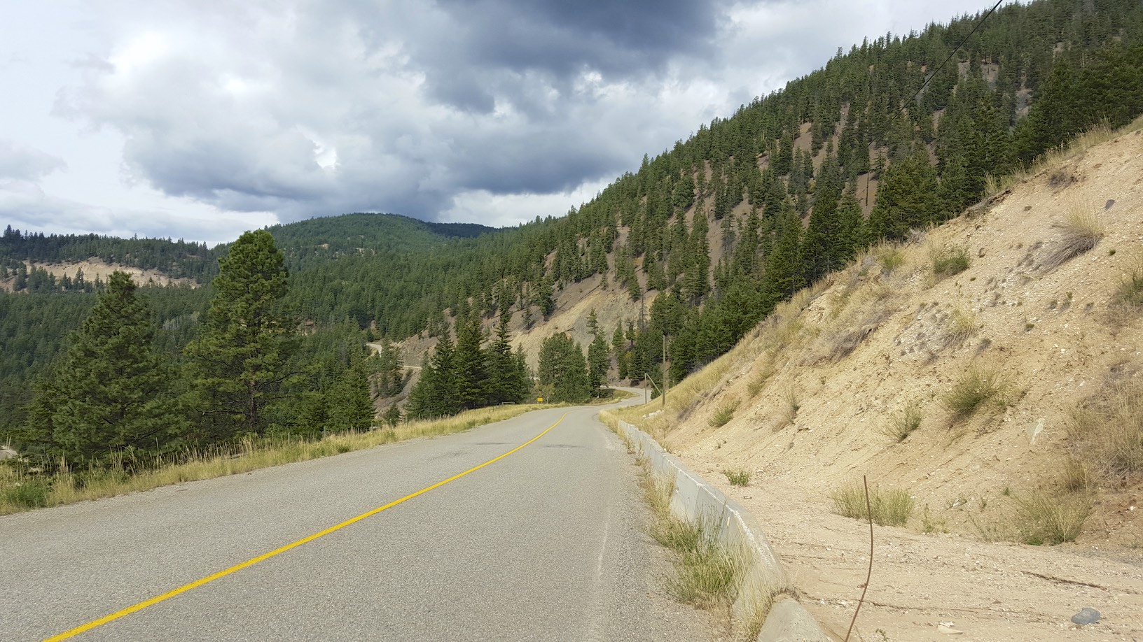
Looking back on the first climb
It was somewhat difficult to capture pictures on the highway since it’s not a tourist oriented highway, there are virtually no pull offs and it’s not advisable to stop in many places to take a photo.
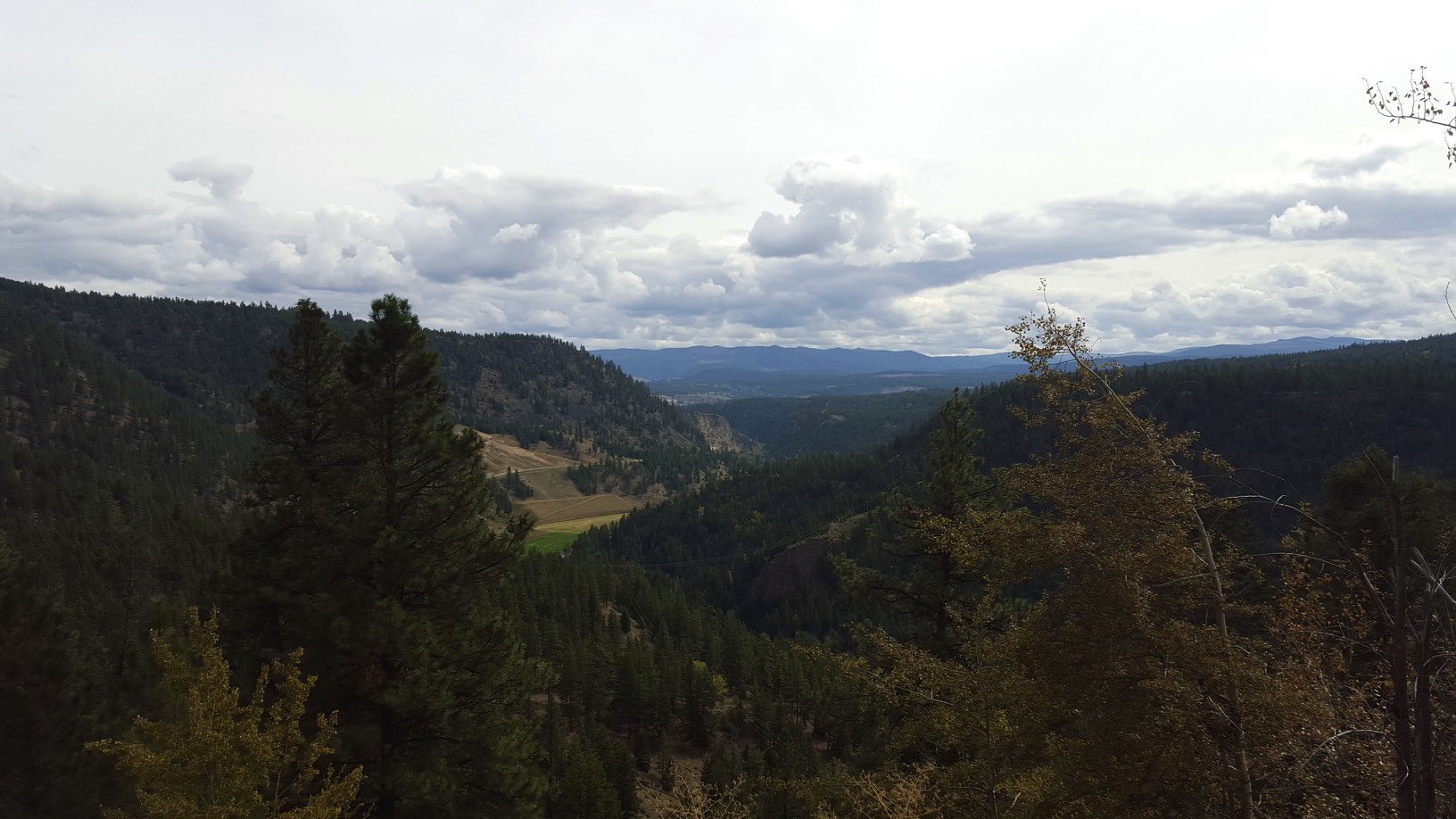
Another view from the highway
You can see the first section of the highway below in the picture, you end up climbing over the mountains practically.
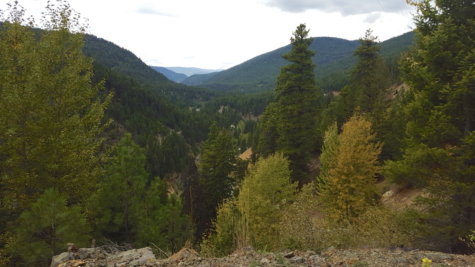
View of the valleys
All in all I think it took around 1:30 to go the 20KM to my motel. There isn’t really much in Coalmont, there was a bar there but it recently closed due to financing problems. There are no other stores and no sources of food. In Princeton I stocked up on 2 steaks, some buns, potato salad, canned corn and packaged sandwiches. I had to guesstimate that the food I bought would last for 2 days.
I stayed at the Mozey-On-Inn (didn’t take a picture, sorry) – but it’s an example of an incredibly well thought out motel. A fire pit and BBQ was available for guests, when you check in you are given fresh ground coffee to use in the coffee maker (which was decent), and marshmallows are provided in the room to roast on the firepit and for hot chocolate. The owners happily provided some steak seasoning, BBQ sauce and milk for my dinner as well.
Given I had quite a bit of time available since I only biked for an 1:30, first I checked out Granite Creek which was a nearby ghost town. The town had around 2000 people at its peek during the gold rush, but now all that’s left is a few old log houses.
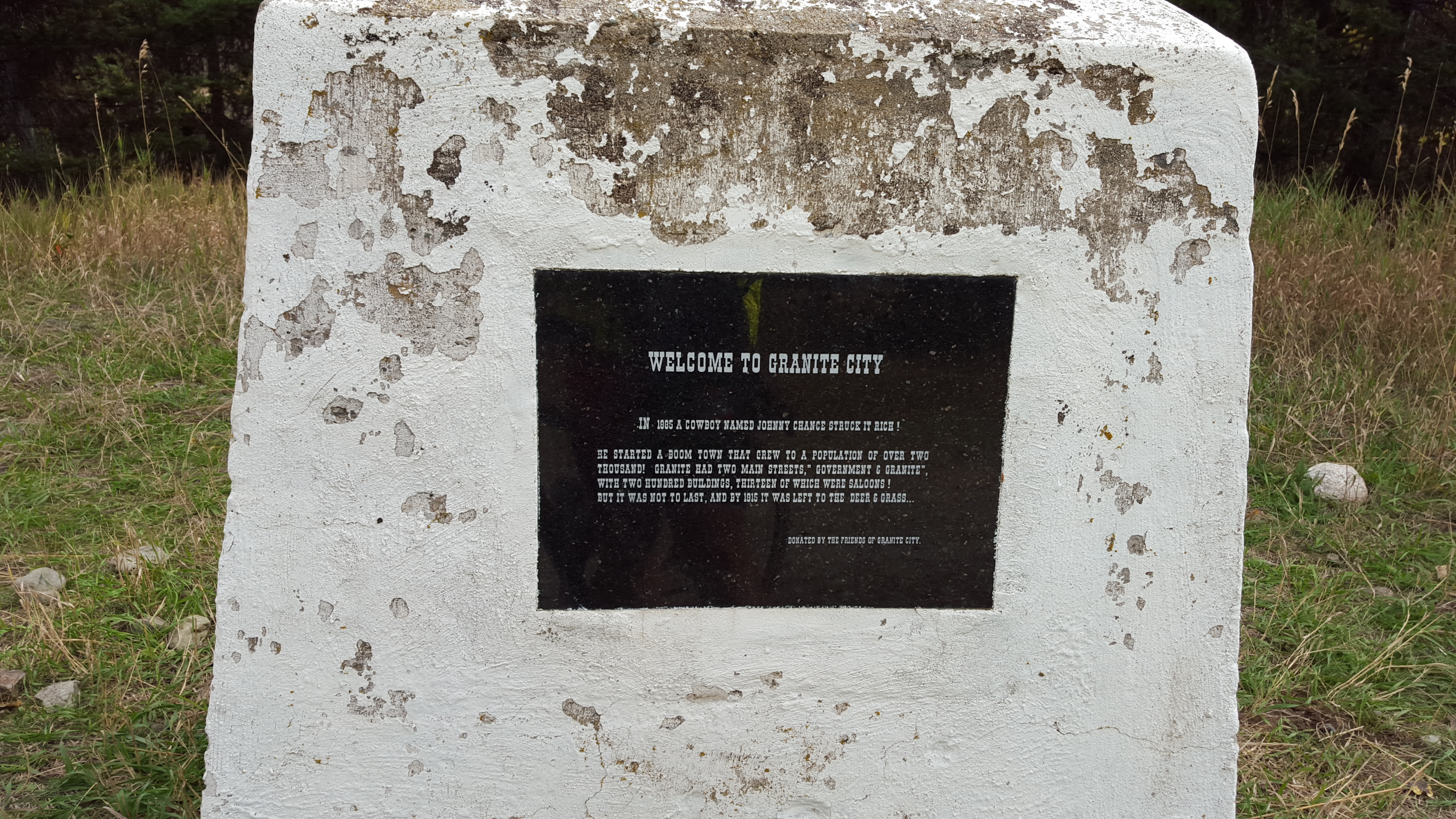
the town
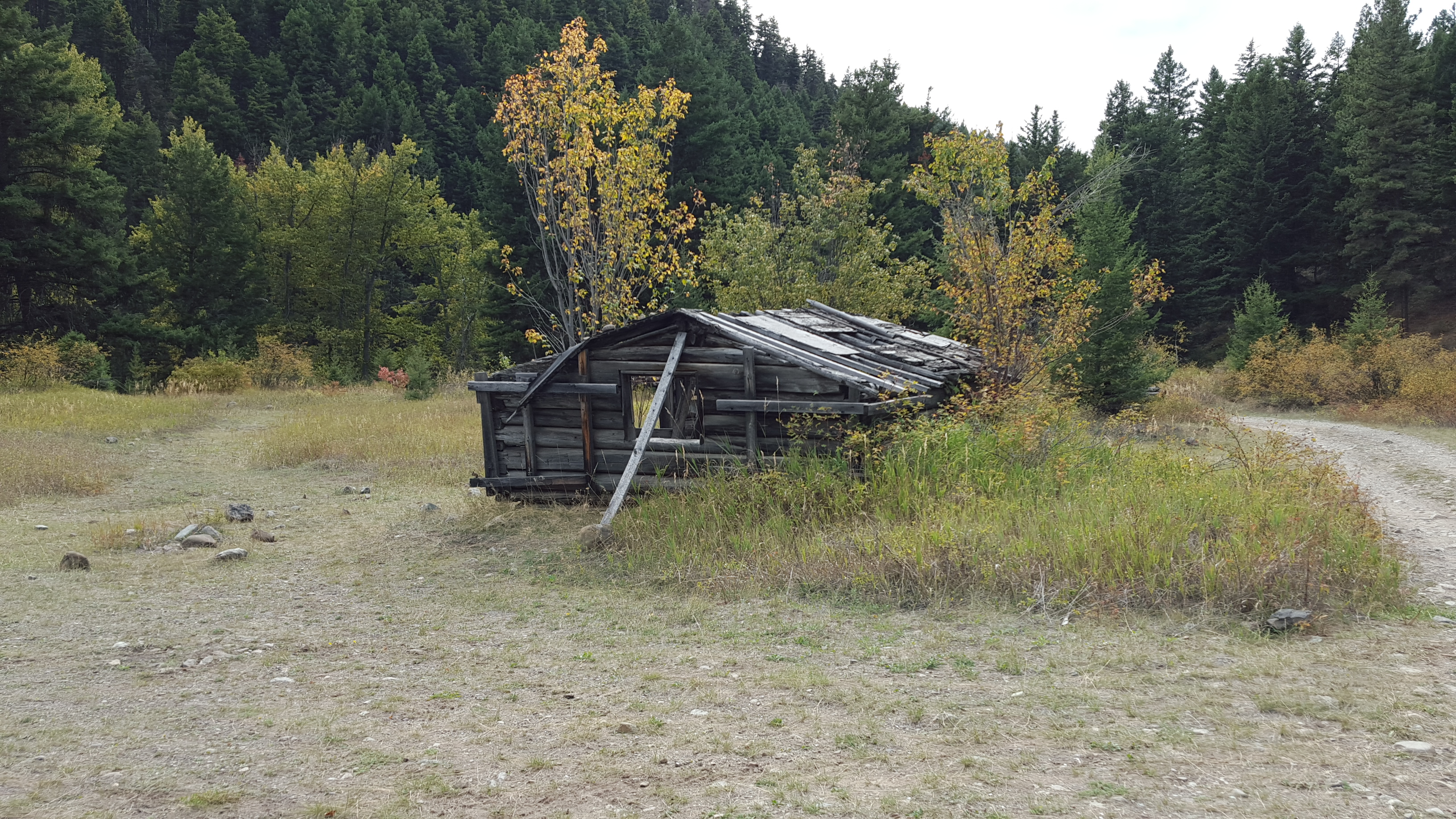
old building
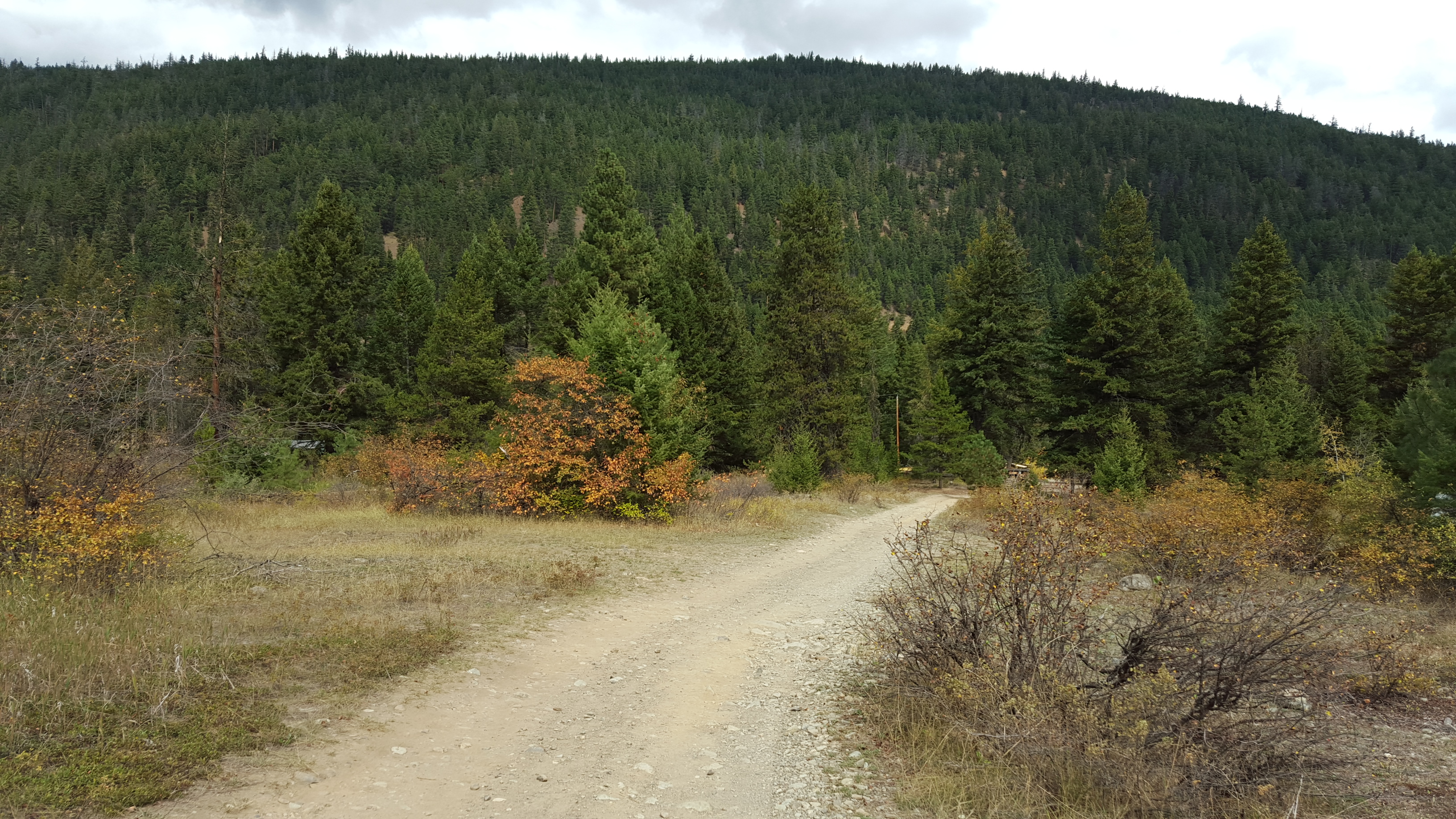
After checking out the ghost town, I wanted to go see the washout on the trail. A cyclist I met said it was 8KM from Coalmont, so I decided to go have a look. The route along the river is actually more scenic than the highway, you can get a close up view of the beautiful river banks.
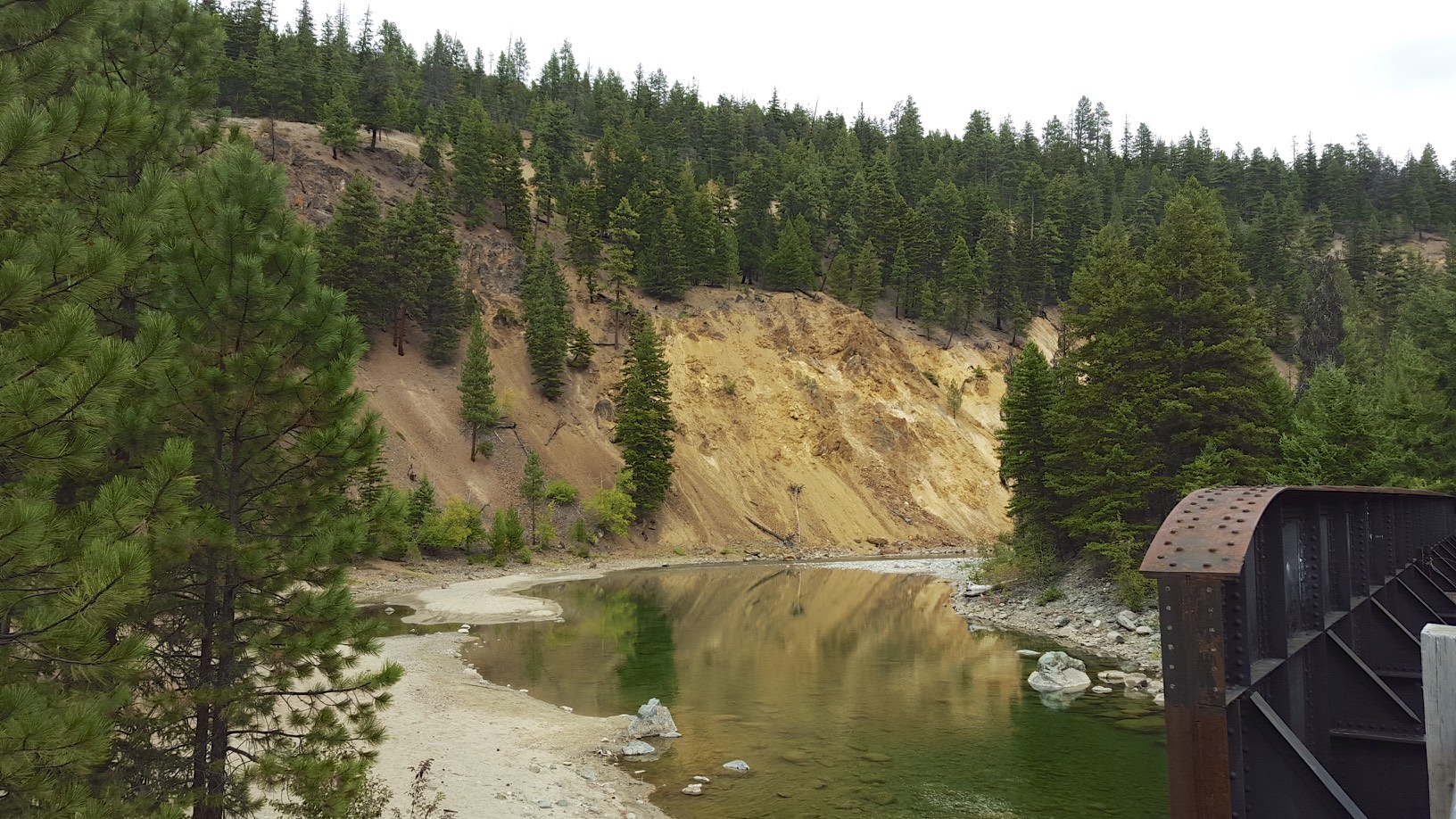
River bank
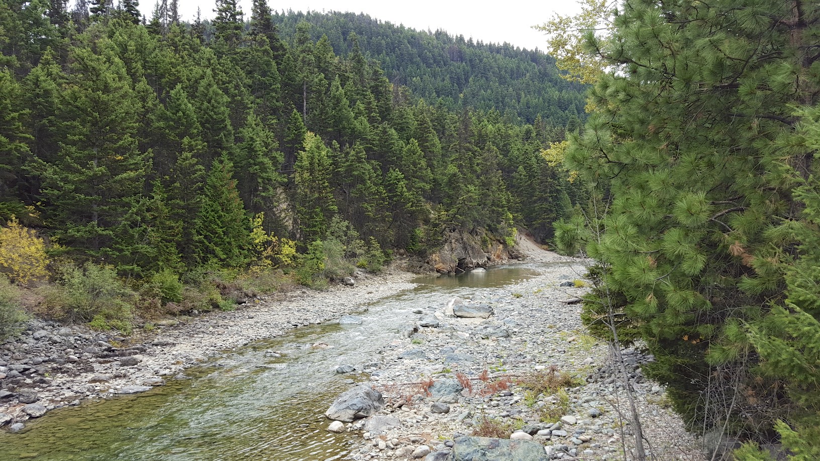
Tulameen river
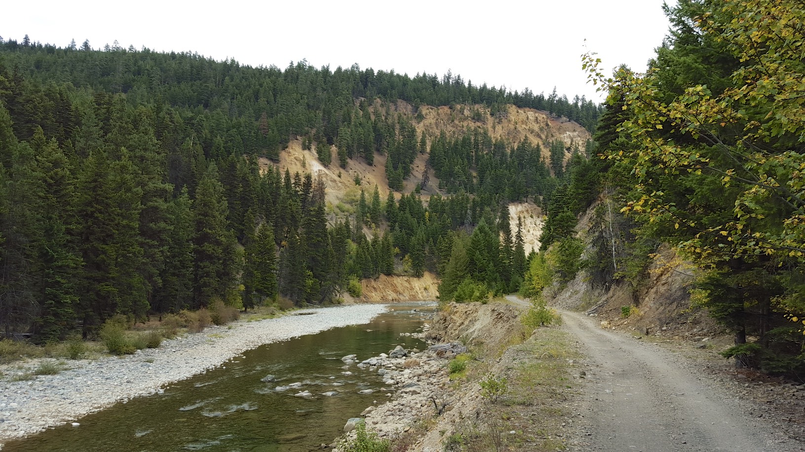
The trail
The trail nicely hangs on to the side the river bank, giving the railway the reasonable grade of 1%. It didn’t take too long to find the landslide.
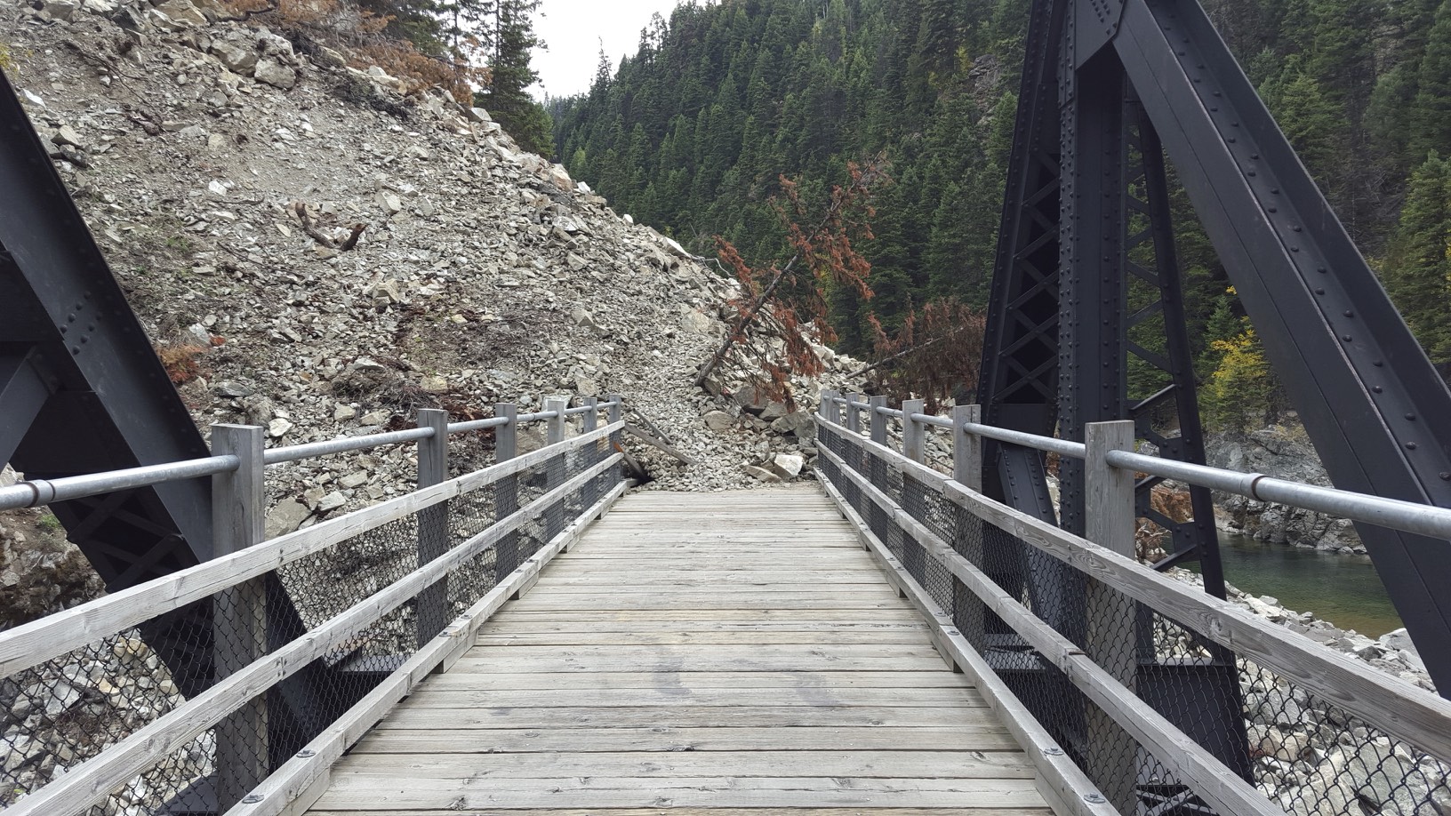
Landslide
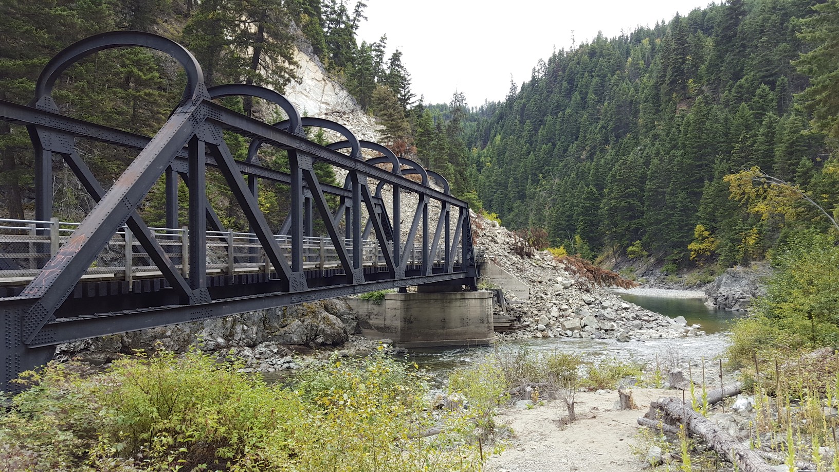
Another view
There is no easy way to bypass this spot, hence why the official re-route was on the highway. The landslide was too steep and unstable to walk over. The only viable route I could see would be to follow the opposite river bank to bypass the slide, and then ford the river. Given the banks were pretty steep and rocky, it wouldn’t be easy and would probably be quite dangerous.
I biked back to Coalmont and it was time for a coffee and dinner. Later in the evening I just had to take advantage of the fire pit.
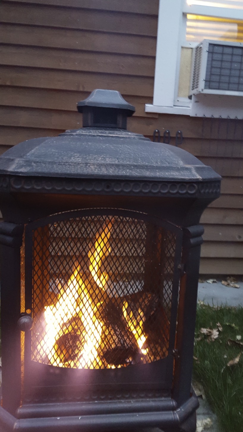
fire pit
Tomorrow, it’s off to the Coquihalla summit.