Day 2: Castlegar – Christina Lake
in Uncategorized
Total Distance Travelled: 93KM
Total Time: 8:50
Moving Time: 6:50
Given day 1 is one of my longest segments for the whole trip, I knew it was going to be a test of my gear, equipment and myself. The weather forecast was good, a high of 21C with no rain in the forecast. The day started off with pancakes for breakfast thanks to the B&B, and some of my own fresh roasted coffee I ground with my hand grinder and made with my pour over filter. The host accepted my explanation of being a coffee snob for skipping out on the B&B provided coffee and making my own instead.
It takes longer to get a bike going in the morning than you might think, the hydration system and water bottles need filling, everything needs to fit back into the saddle bags that was taken out etc. All in all, it probably took about 40 minutes for me to get everything together and be ready to hit the road.
The trail doesn’t actually start in Castlegar proper, the trail head is about 9KM out of town. Since my B&B was outside of town on the opposite side of the river, I had to bike back into Castlegar to cross the bridge over the river and than head out of town for the trail. Since I was going through town anyway, I grabbed Subway for lunch later in the day.
The highway out to the trail head was undulating with no major climbs. The highway ends at an industrial area where trucks access the local pulp mill, one one side of the lot has the trail information. The rails still remain for the first 2KM, but they have been filled with ballast.
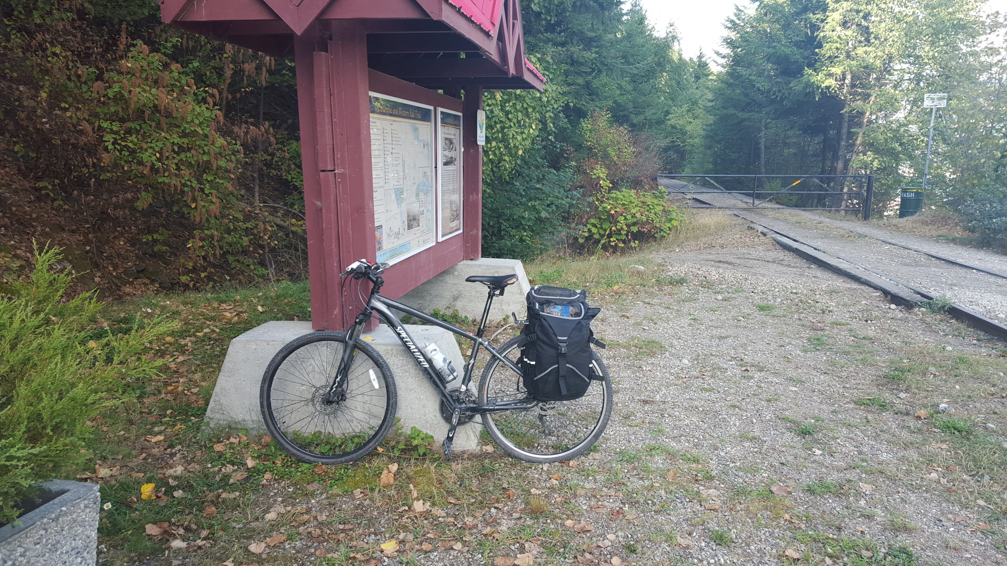
KM 0!
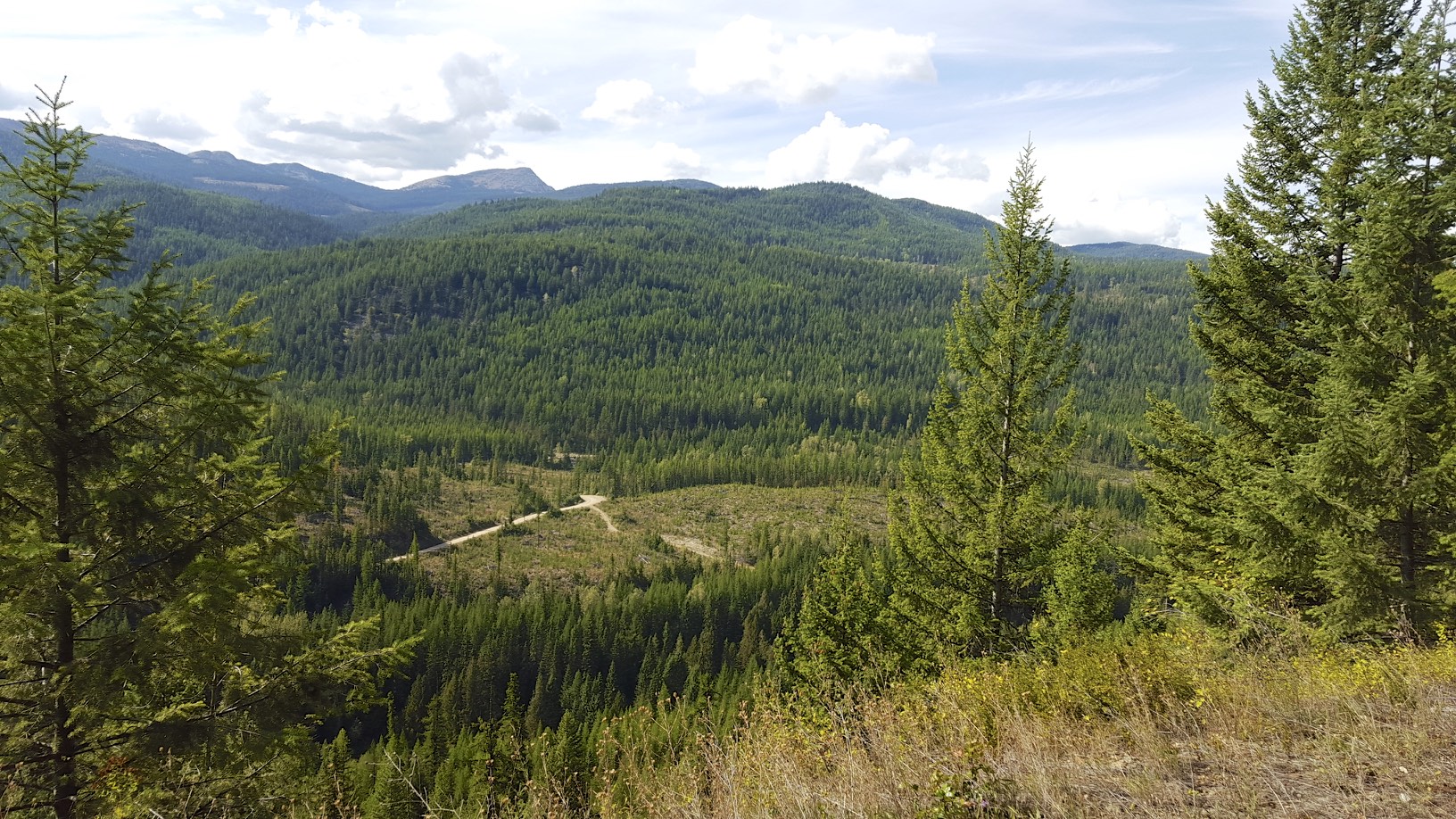
The base altitude of the trail is 430M (1410 feet), the trail climbs at a steady 2% grade to Farron at 1212M (3976 feet). From the official start of the trail, that is a 40KM long ascent.As you can see from the map, the trail follows Lower Arrow Lake for much of the ascent, making for stunning views.
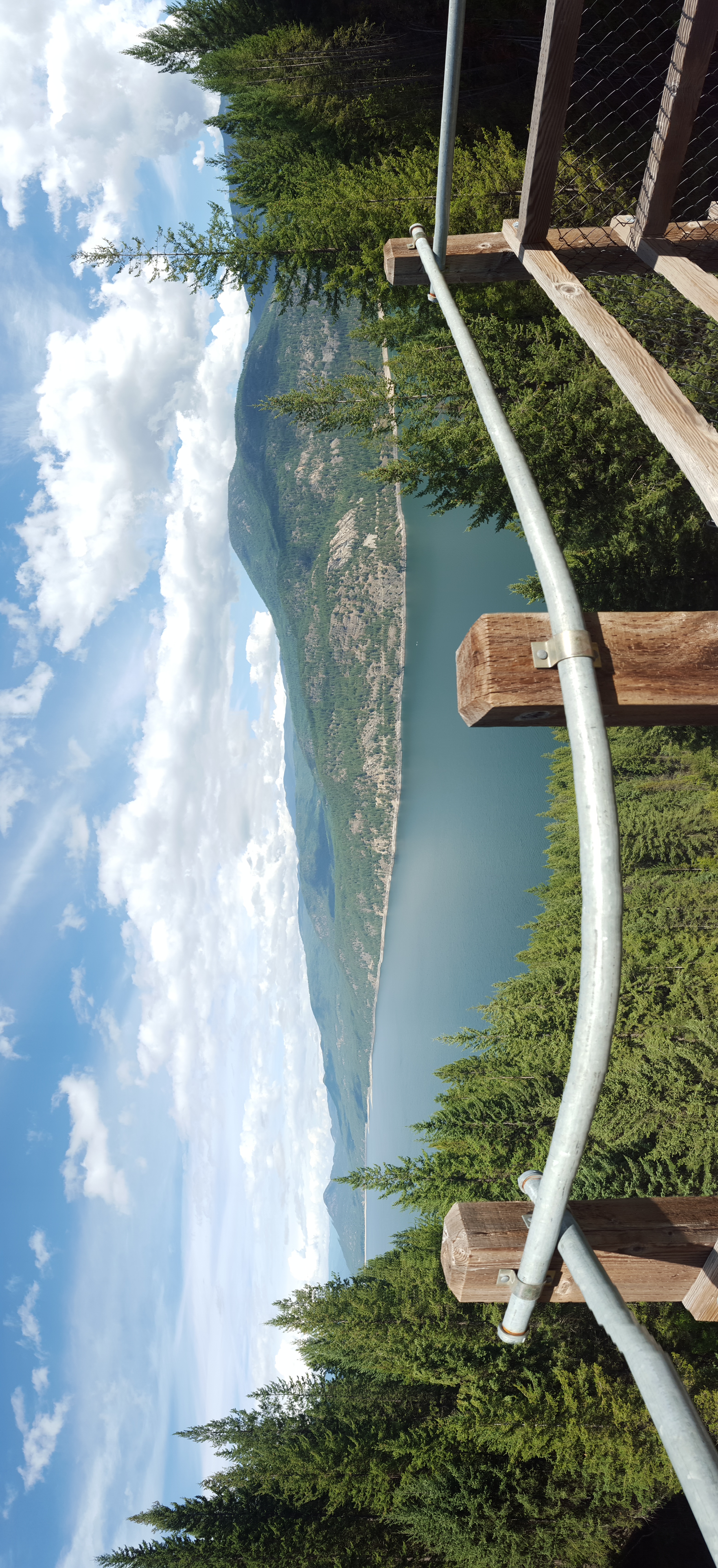
Lower Arrow Lake, viewed from a Trestle
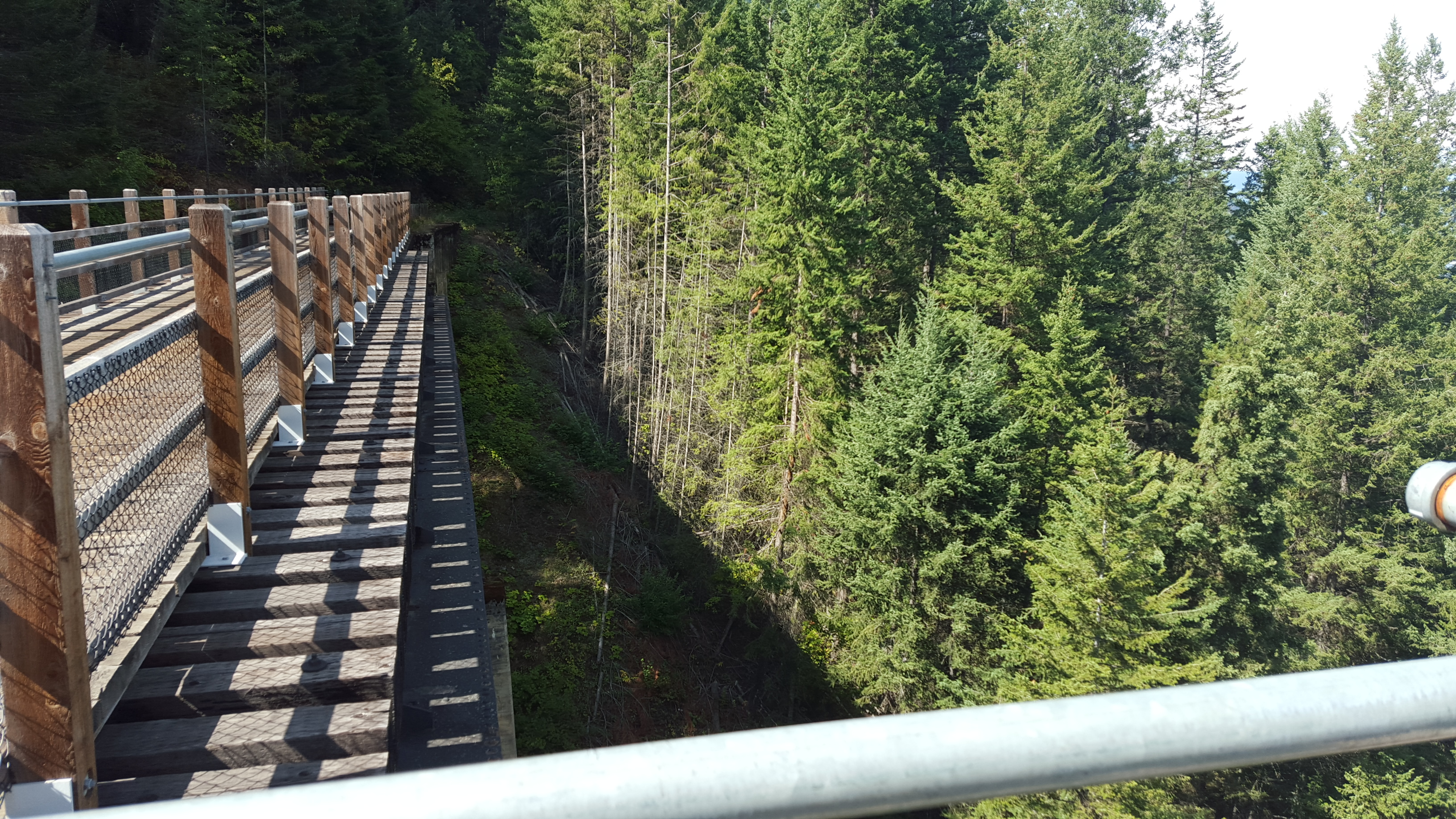
The trestle…
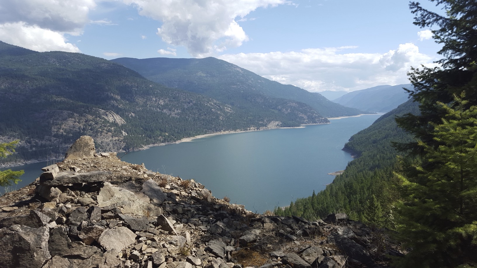
Another view of Lower Arrow Lake
At first you almost don’t notice a 2% grade. Unlike a road where on long climbs you typically have some flat or downhill sections that give you a break, all 40KM on the trail is uphill until the summit. Riding on the trail gives you an appreciation for 1900’s engineering, the trestles and tunnels they had to build were incredible.
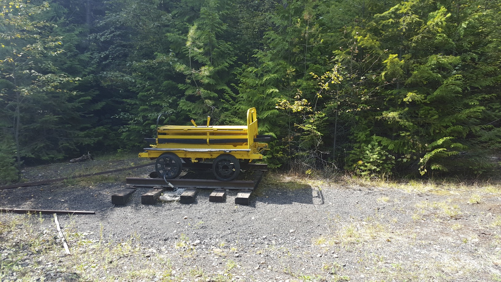
Old railway equipment along the way
After climbing for 30KM, it was time for a break to eat half of my lunch. A nicely made picnic bench made for lunch with a view.
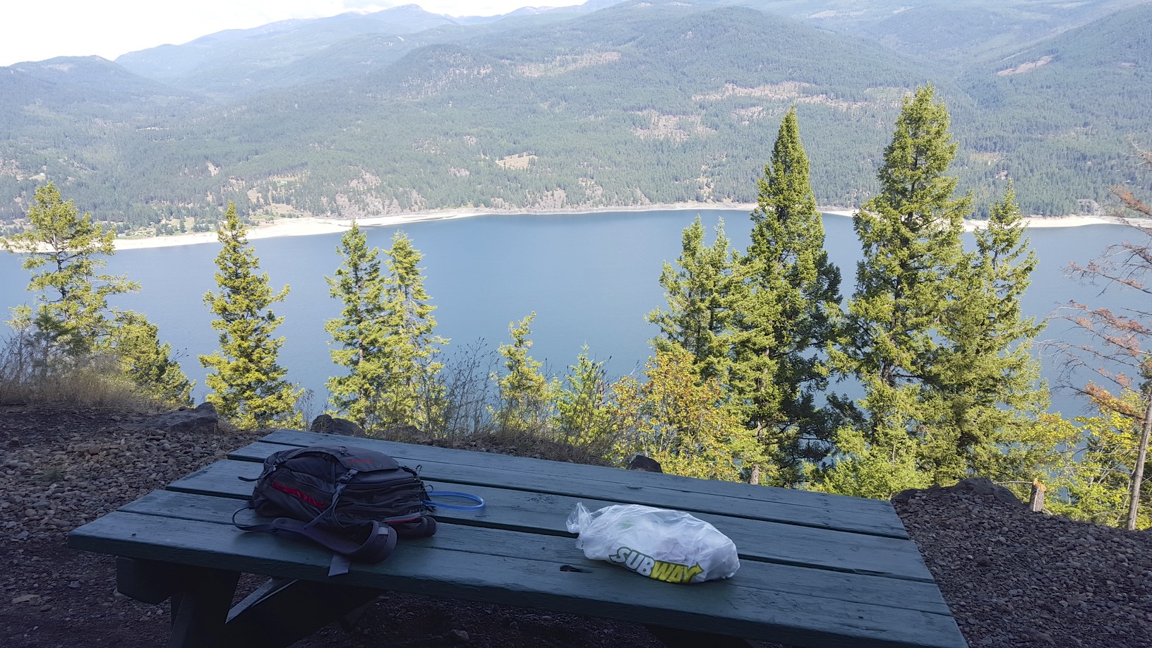
Lunch time!
Shortly after lunch, it was time to go through the longest tunnel on this section of the route – the Bulldog tunnel at 912 meters long.
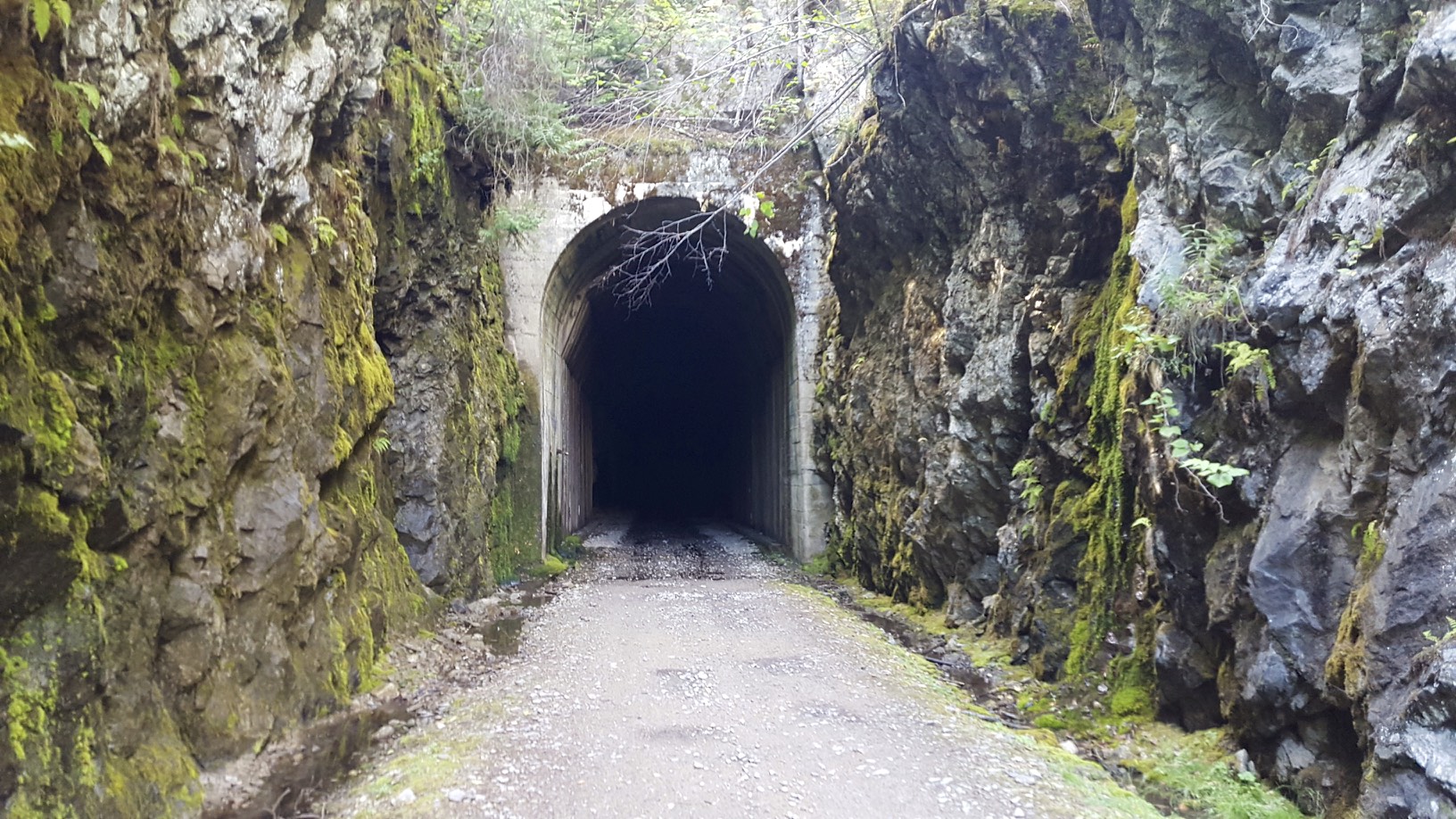
Bulldog tunnel
Most of the tunnel is in complete blackness, all I had on for me light was my MEC Bike light which did a reasonable job of lighting the way. It’s still a bit unnerving walking almost 1KM in total darkness. In the tunnel I ended up meeting an ATV, luckily with my light and my fluorescent coat he had no problem spotting me and we easily passed each other. The ATV was more like a souped up golf cart, with 4 people on it and a couple of coolers. It looked like a family was heading out for a ride. I met a few other ATV’s and some motorcycles, but no other cyclists. For the most part the trail was completely dead.
The trail surface is highly variable, it goes from a hard packed smooth gravel surface to loose rock/ballast or sand with sharp rocks sticking out. On the roughest sections, I could only make 10KM/h comfortably. On the best sections I was ascending at 15KM/h. Overall a hybrid bike was fine for this section of the trail, there really wouldn’t be any benefit to a mountain bike other than if you have one with full suspension.
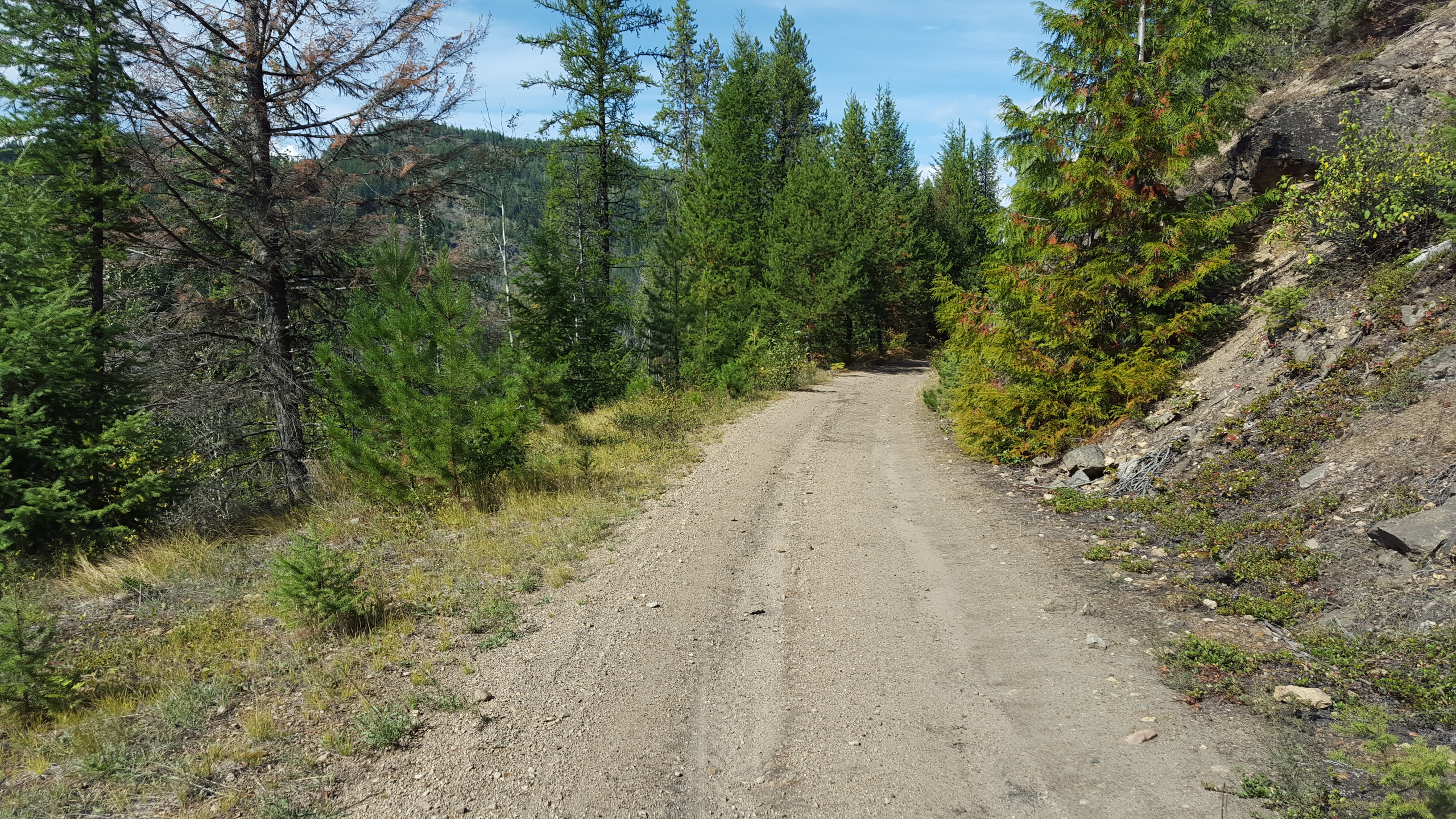
A section of good trail
The Bulldog tunnel took me from the Pup creek valley into the Dog creek valley (everything seems to be named after dogs…). The valley was fairly narrow and incredibly scenic.
Dog creek valley
Another view of the Dog Creek valley
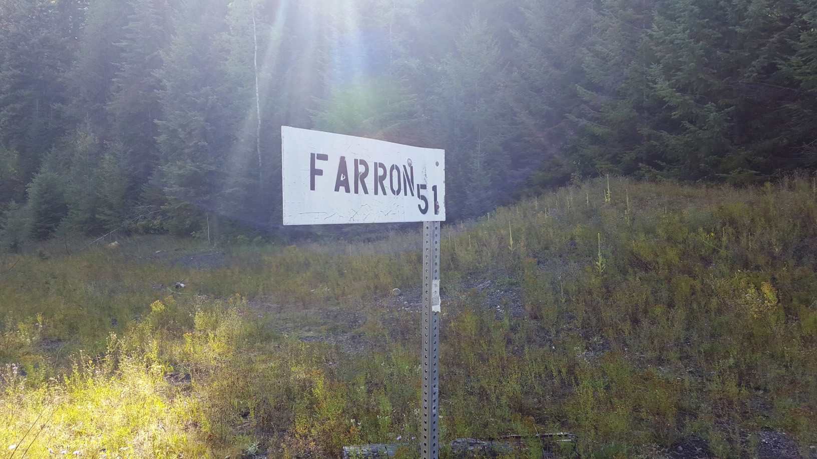
After travelling up the valley, I finally arrived at the summit at Farron.
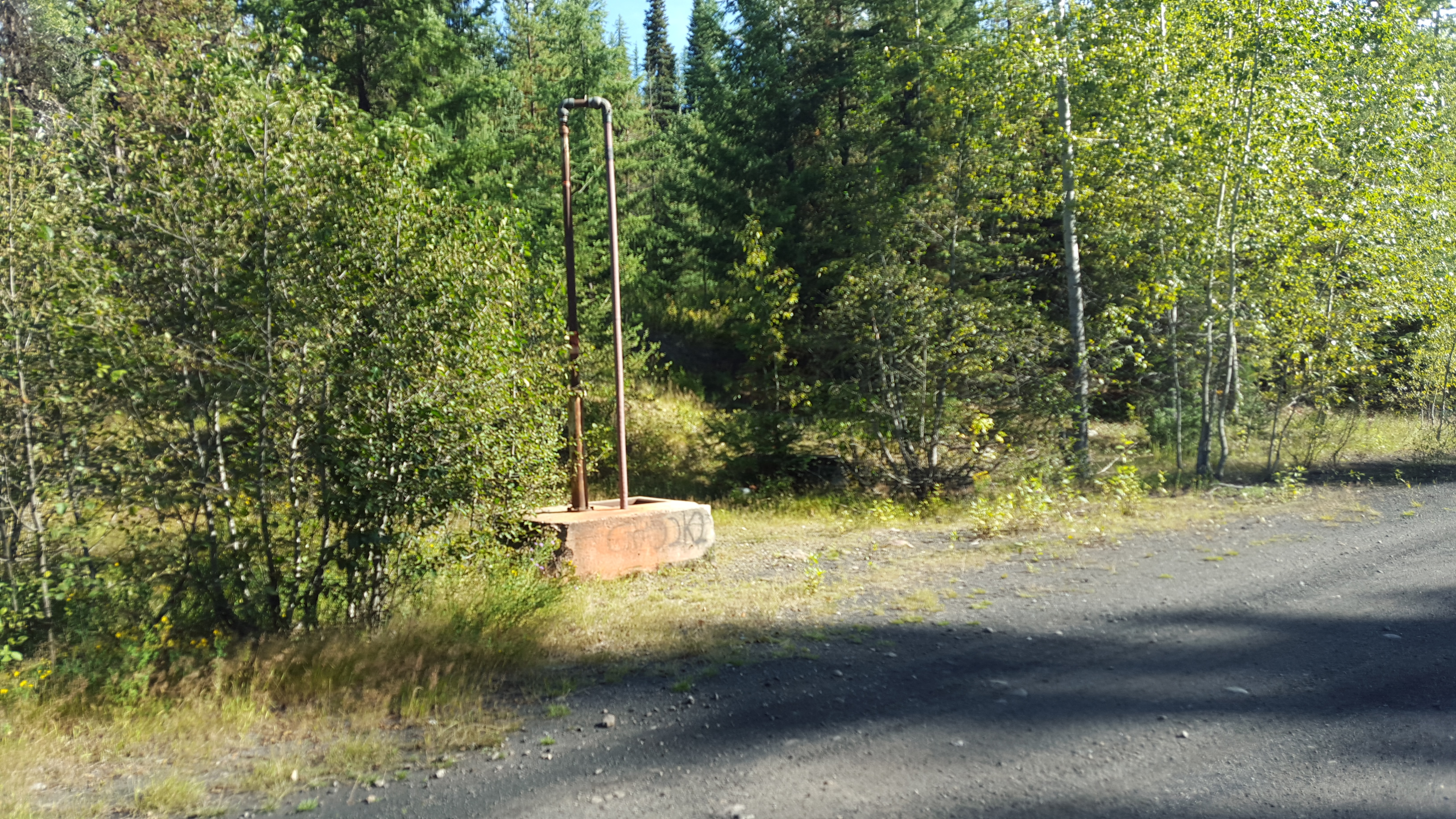
Part of a water tower (?)
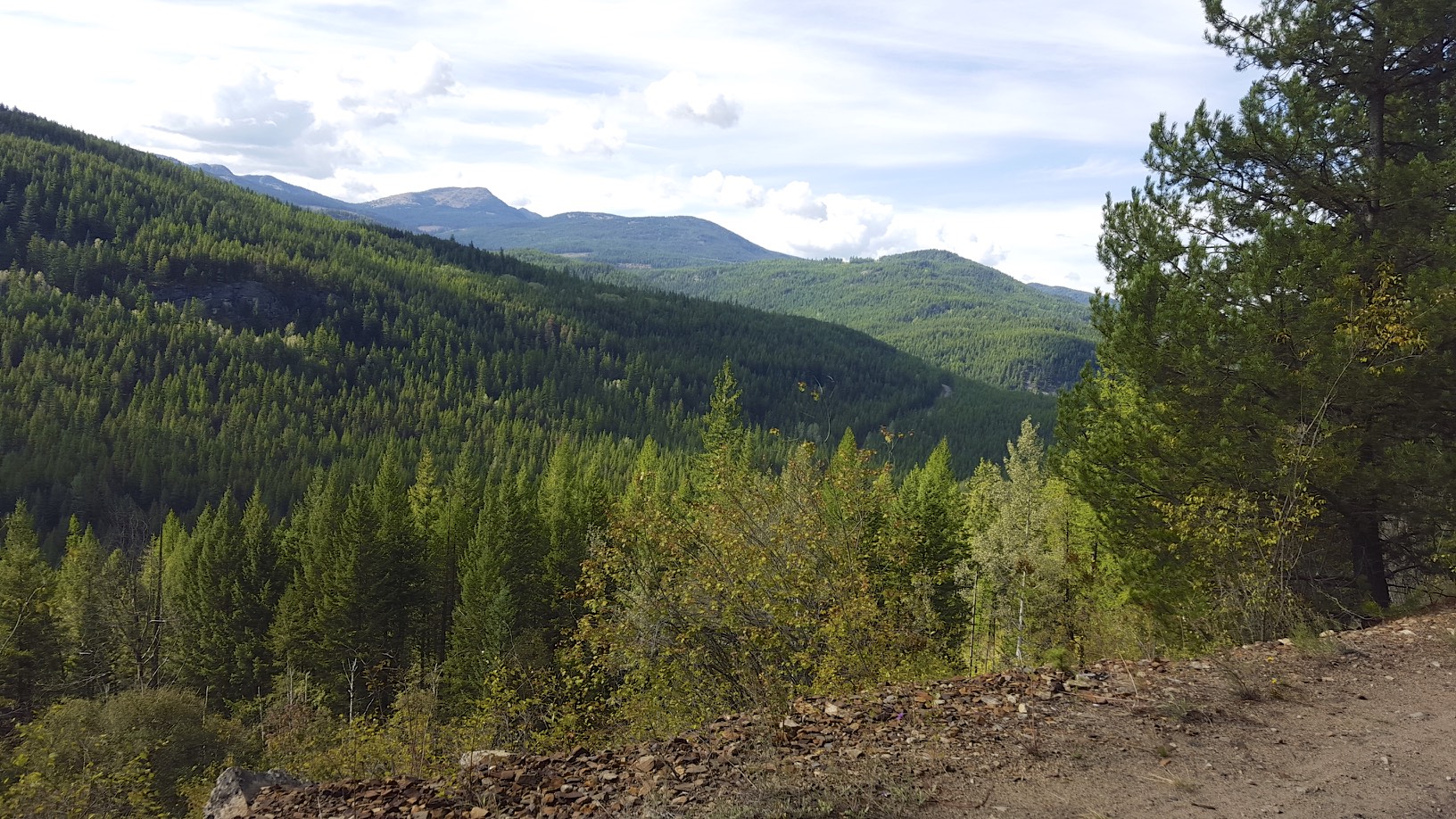
At Farron it was time to take a break and finish my lunch, it felt good to have finally reached the summit. For most of the day the rail trail followed a different valley than the road, so it was completely isolated from civilization. At Paulson, the highway joins the valley the rail trail follows.
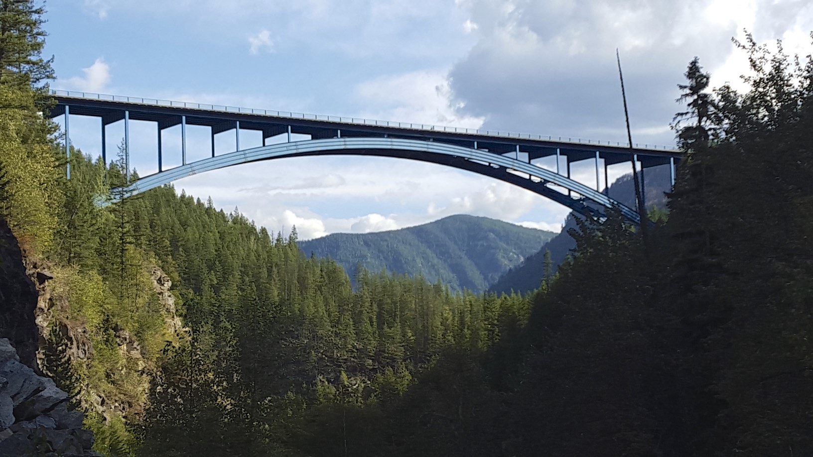
Highway Bridge
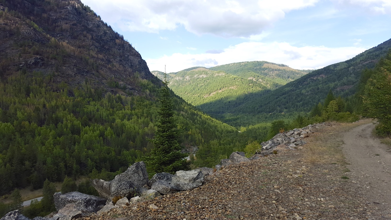
View of the valley
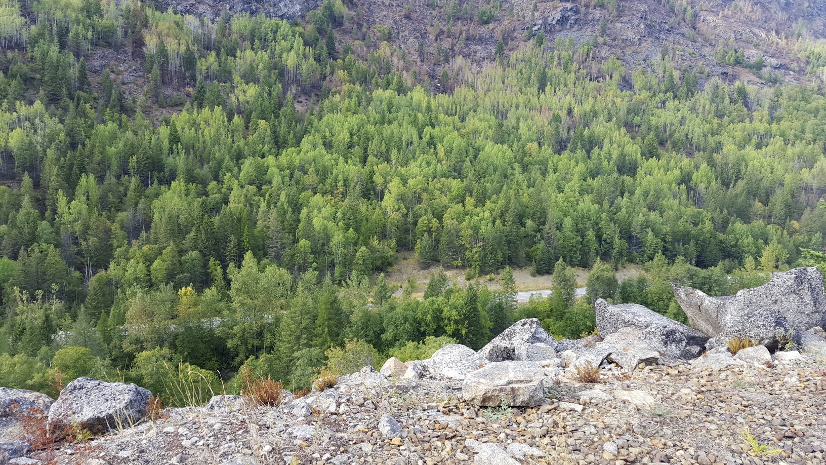
The highway below
From the summit I didn’t even have to peddle, the 2% down grade kept me going down hill at 15KM/h. When the trail was smooth enough I helped out and peddled and maxed out around 21KM/h. Since the trail condition can change so quickly, it’s not safe to get much above 20KM/h. A fully loaded bike can’t maneuver very quickly. At Fife station, I left the rail trail and took a road that steeply descended into Christina Lake where I hit my max speed of 46KM/h.
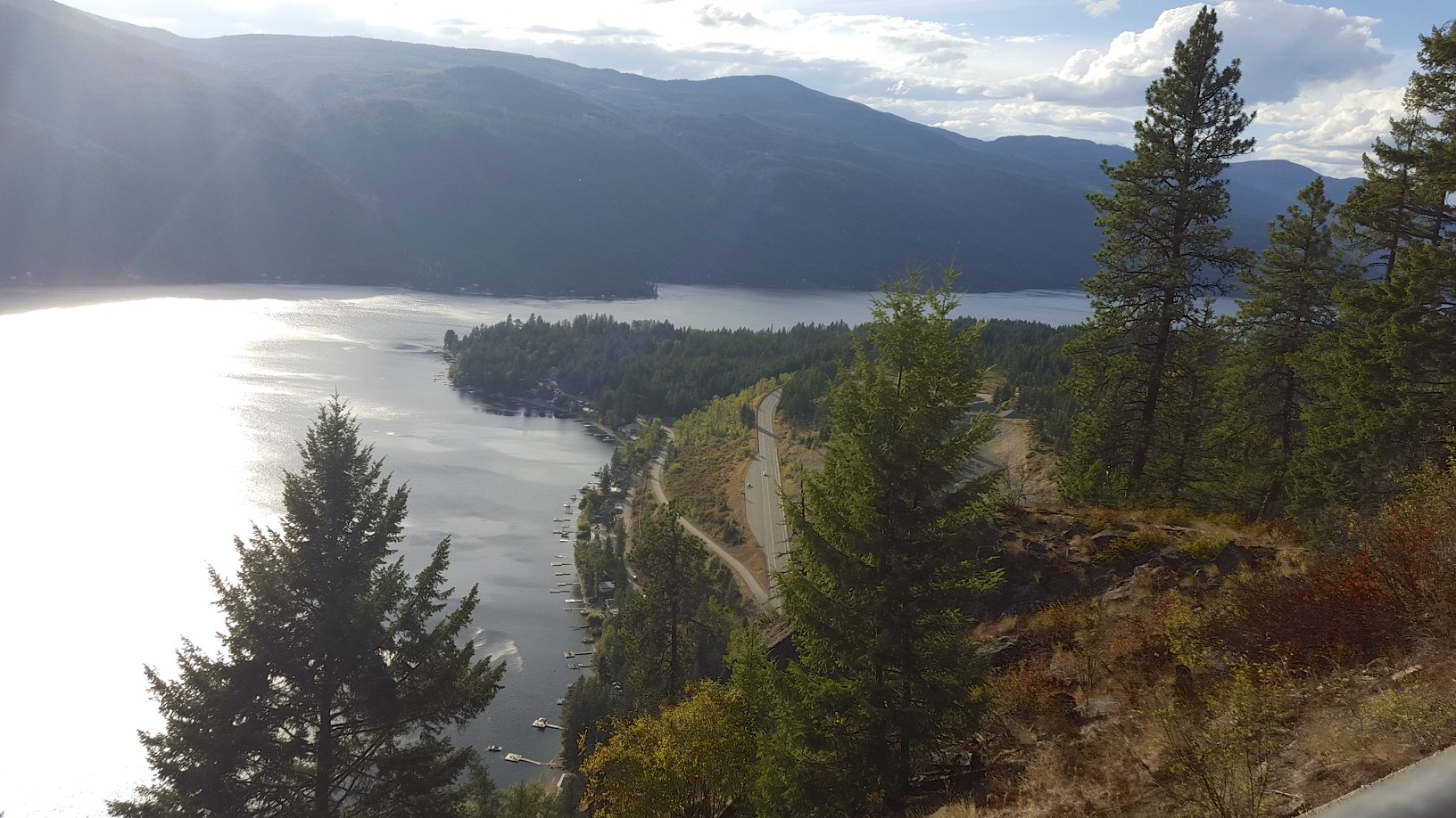
High Above Christina Lake
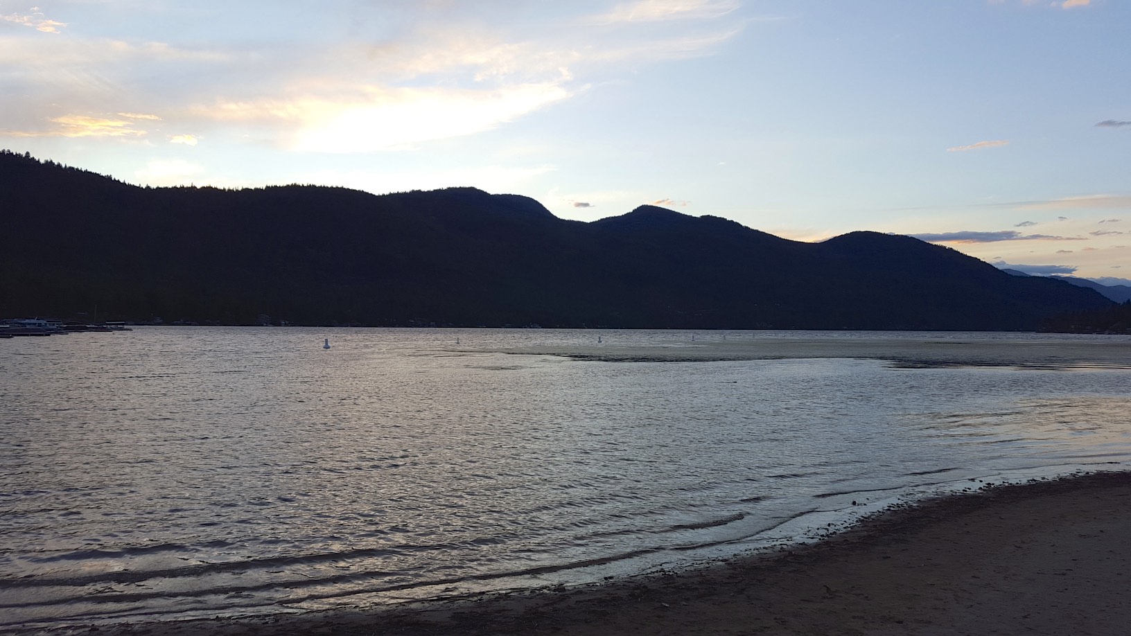
Lake side
There was a pizza shop next to my motel, so I grabbed some dinner and relaxed.