Day 11: Taiwan Cycle Tour Part 4
in Uncategorized
Well I knew today was going to be interesting, so far I had been following the coast line which had it’s literal ups and downs, but I hadn’t actually cross any mountains. Today that was going to change…
In terms of elevation…
Elevation map, click to enlarge
I had a steady climb from sea level to 445M above sea level, which was the peak of the pass.The good news was there was only one major climb, than the terrain flattened out considerably.
Sea level at the east coast
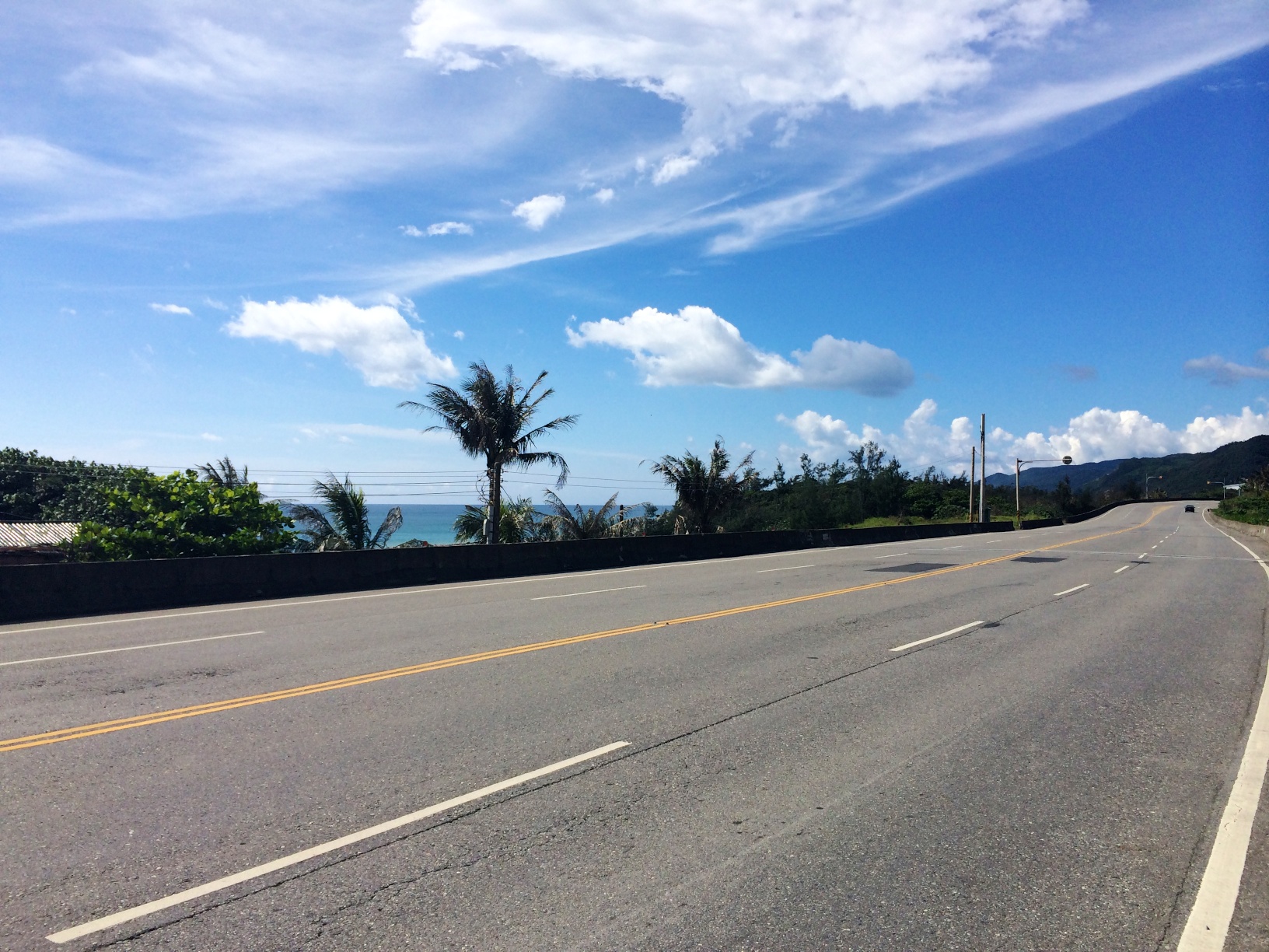
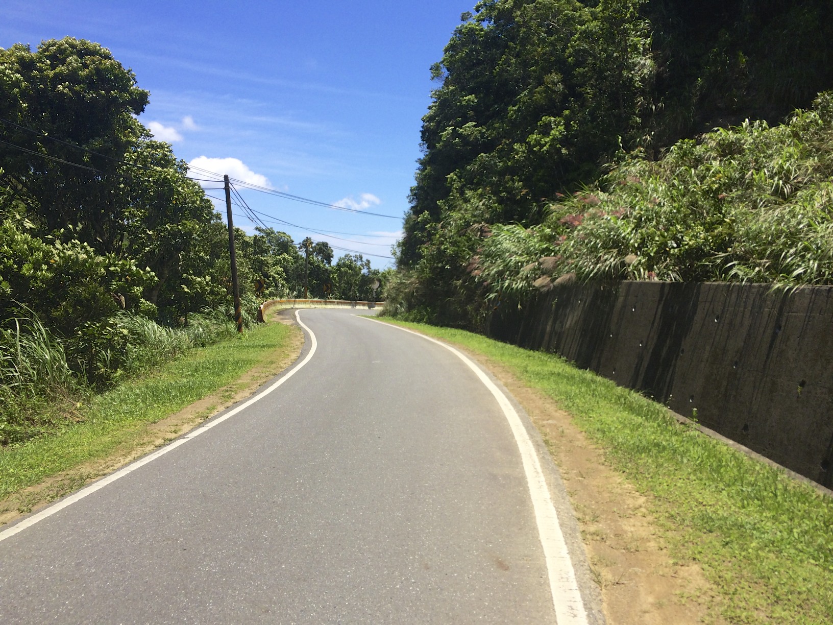
From here, the highway curved into the mountains. The worst part of the ascent was at the start, as this sign will attest.
The steep grade lasted for about 2KM, and it was pretty slow work. At the lowest gear on my bike, I was climbing at about 8KM/h. Even though it was early in the morning (9AM), it was already around 27C out with high humidity. The entire climb lasted about 10KM, though the grades became a more manageable 2 or 3 percent. In gave me lots of time to enjoy the scenery while taking breaks though….
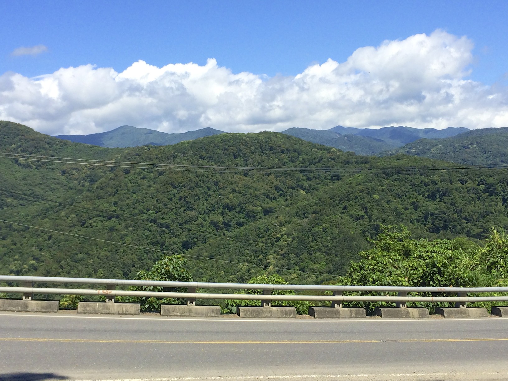
Climbing into the mountains
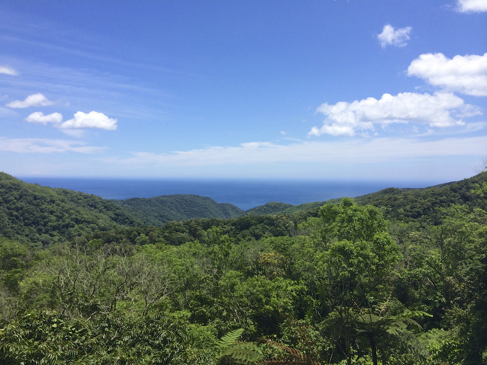
Usually with mountain passes it was pretty easy to see what valley you are climbing at least, but with the terrain in Taiwan and many valleys being very steep, it wasn’t even clear that I was following a river or even a particular valley as I ascended. The unique thing about climbing so close to the pacific, as you could see the ocean as you climbed.
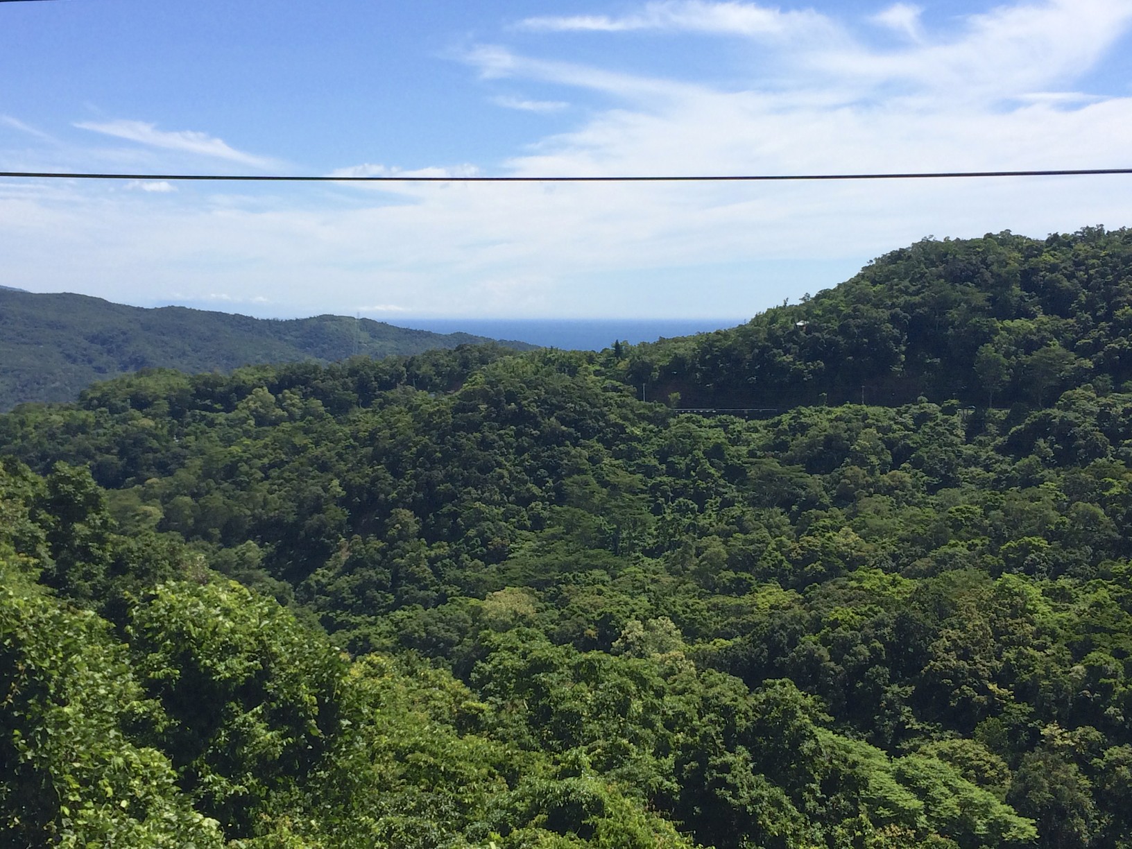
As you get higher and higher, the view becomes better….
A better view of the pacific
The one nice thing about this highway, as there were shade trees along the shoulder in some parts. Taking a break in the shade with some snacks and water certainly makes the climb more enjoyable.
Near the summit
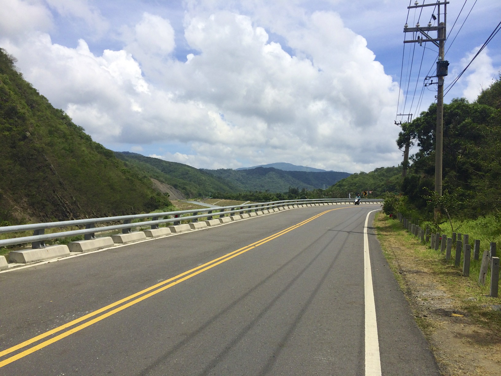
It took about 1.5 hours to climb the 10KM ascent, with quite a few breaks. I started out with 3 bottles of sports drink, and 1L of water and I used about 3/4 of that on the climb. Since this is one spot without any stores whatsoever, I had to carry all the liquids I thought I would need + reserves. When I finally reached the summit, there was a couple other groups of cyclists to give me a thumbs up for completing the climb. I’ve been following a major highway this far (#8), but now I got a chance to break off on a much quieter and nicer road. Highway 199 is a single lane road for the most of the way, with very little traffic.
Highway 199
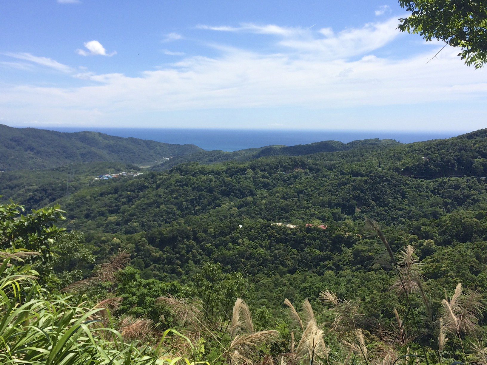
The highway starts off heading mostly south, and provides some good views of the ocean.
A picture doesn’t really do it justice, it was much more impressive in person.
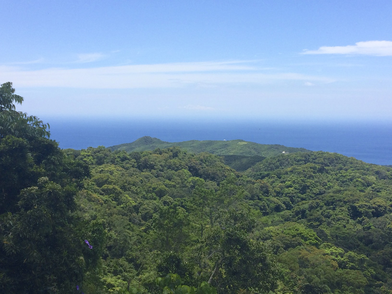
On top of the world!
The highway finally left the ocean, and came into a park with Dongyuan lake
. 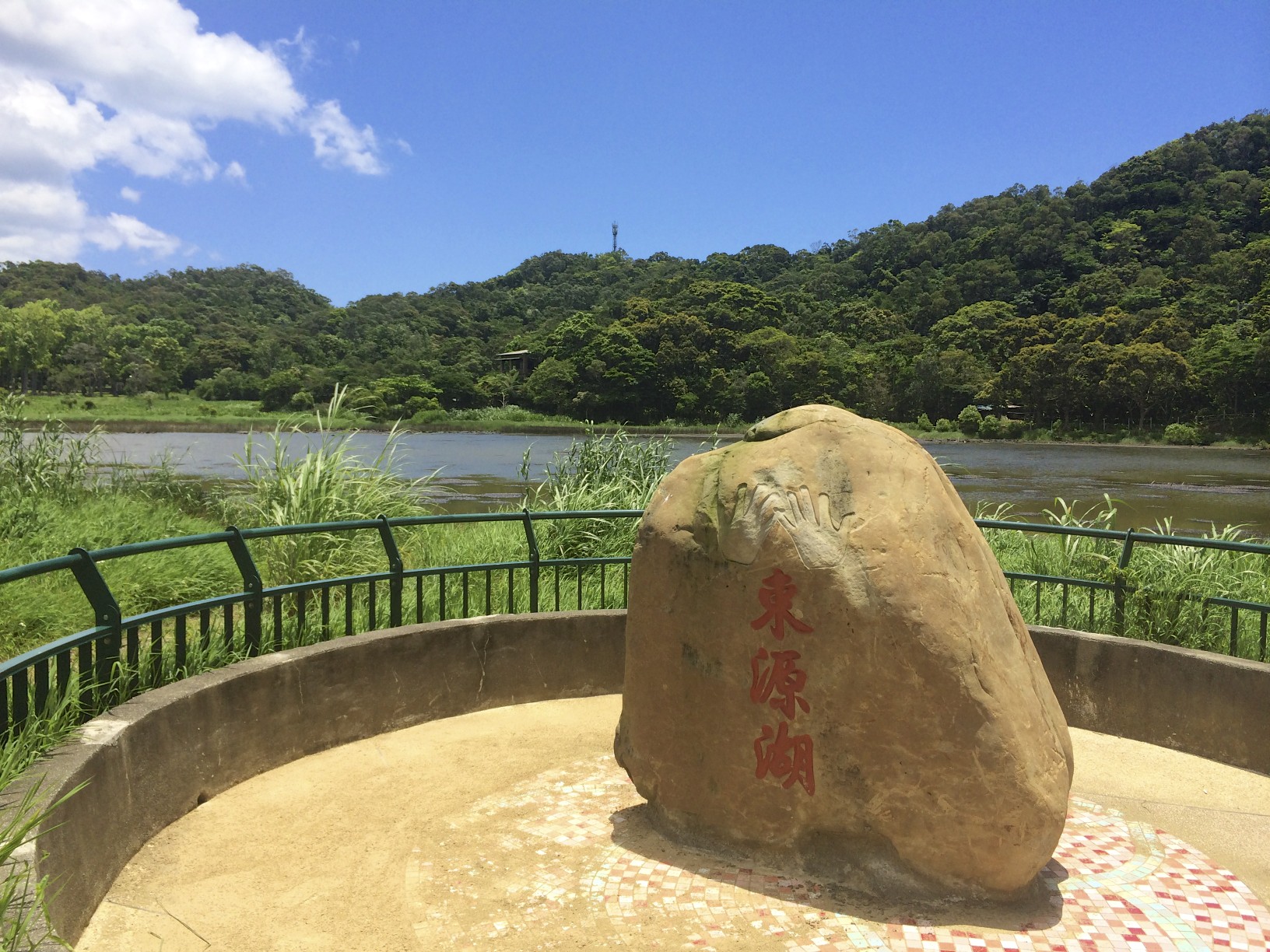
Dongyuan lake, in Paiwan language is called ‘kudji’ which sounds like ‘weeping’, so it is also known as weeping lake. It is a place where many springs meet and flow endlessly, which is why the Dongyuan (Maljipa) tribe believes the lake is a spirtual place.
The quote is from the sign up at the lake, in any event it was a nice spot. Given that i hadn’t had lunch yet, there was a noodle shop a short distance from the lake. The owner didn’t speak a word of English, but someone had ordered a bowl of noodles before me and I managed to get the message across I would have the same thing.
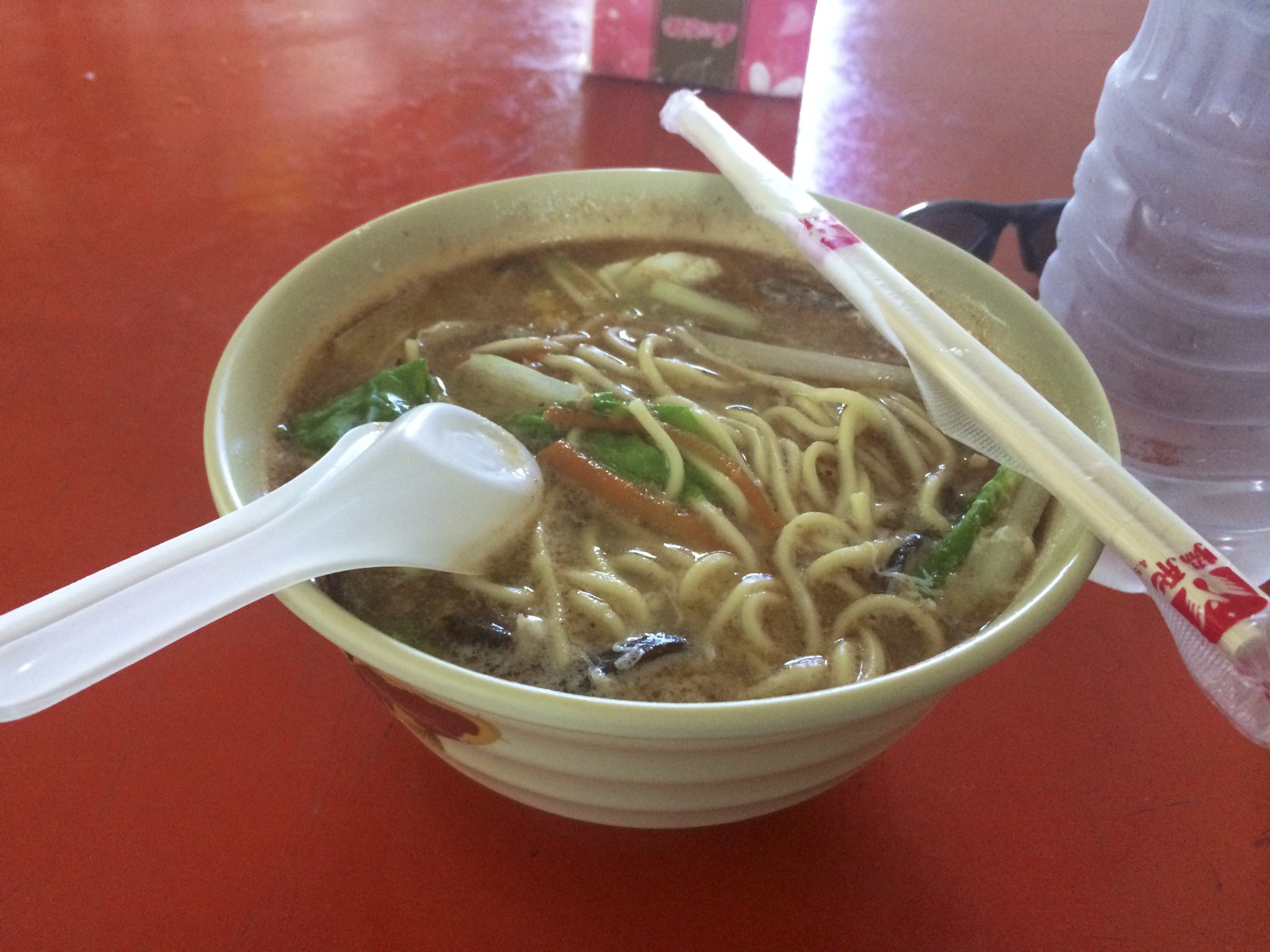
It turned out to be quite good, with some seafood and pork. I certainly needed the carbs in any event. Luckily I was also able to buy a litre of water to replenish my supplies.
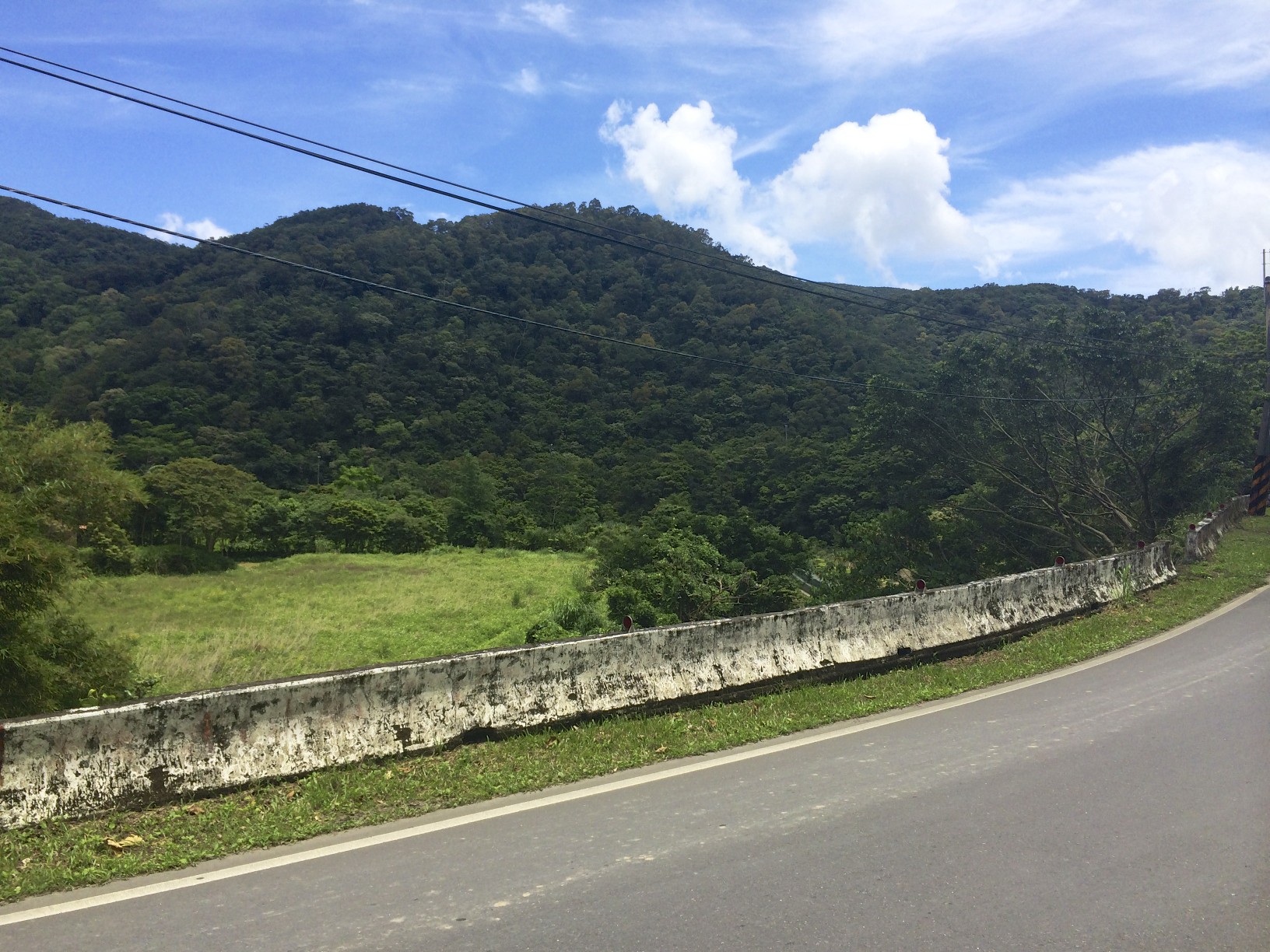
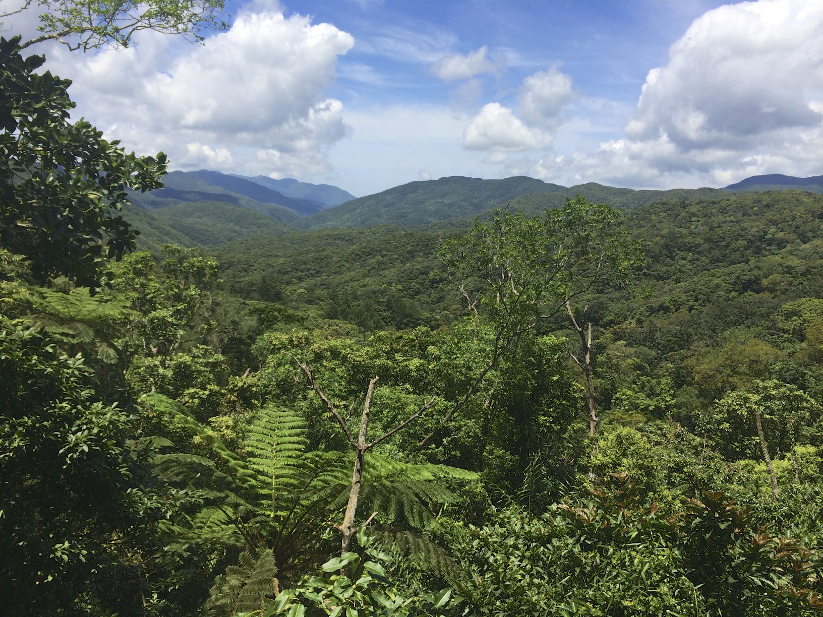
Highway 199 in the mountains
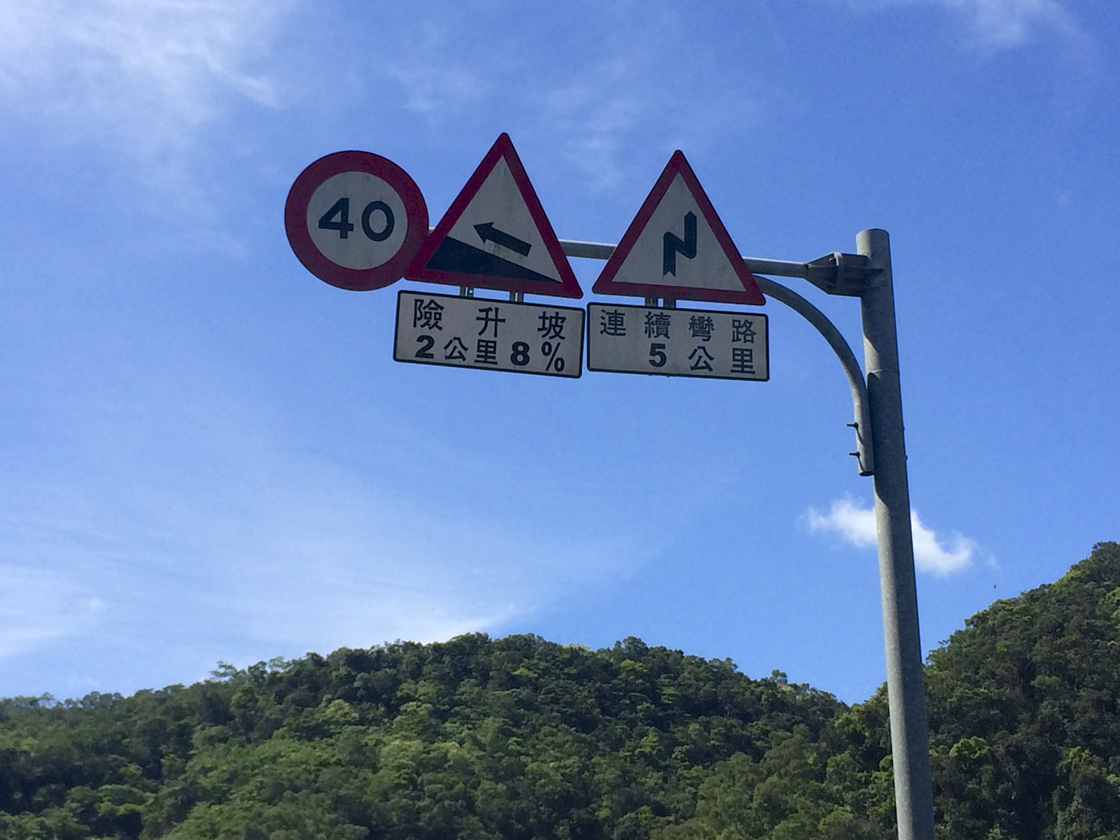
Even though the elevation map would have you believe it’s all down hill from the summit, it of course never is. In between the fast down hill rides, there were still a few decent climbs. The terrain was slowly changing though leading me to believe I was arriving at the other side of the island.
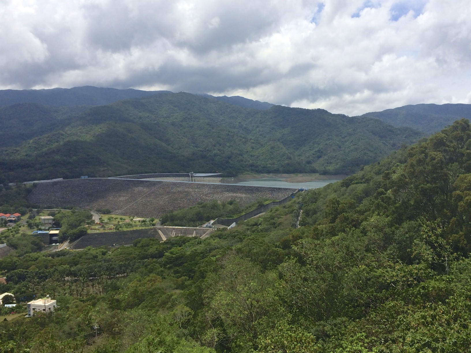
View of a reservoir
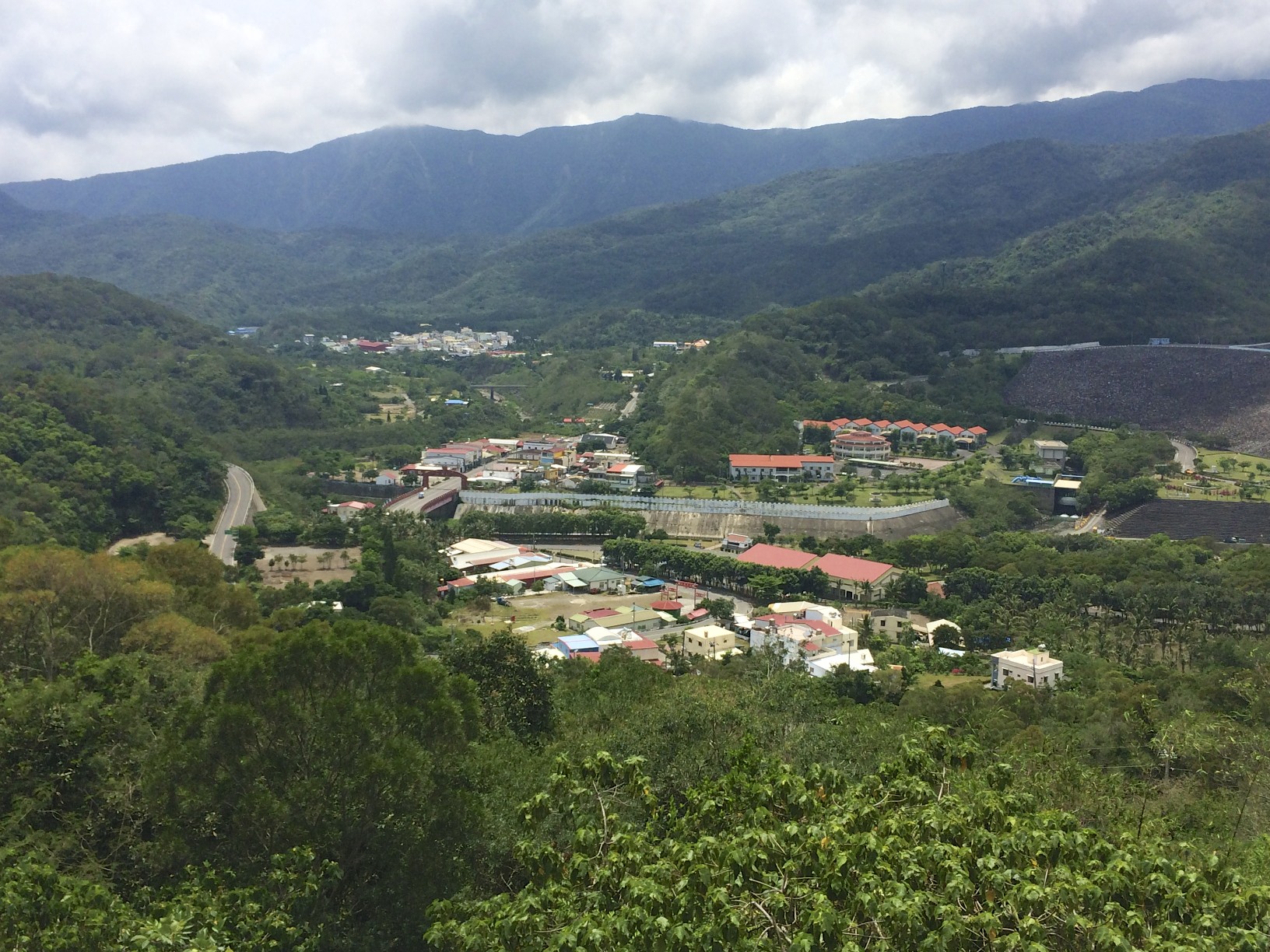
The valley slowly began to widen out…
Still cruising down hill
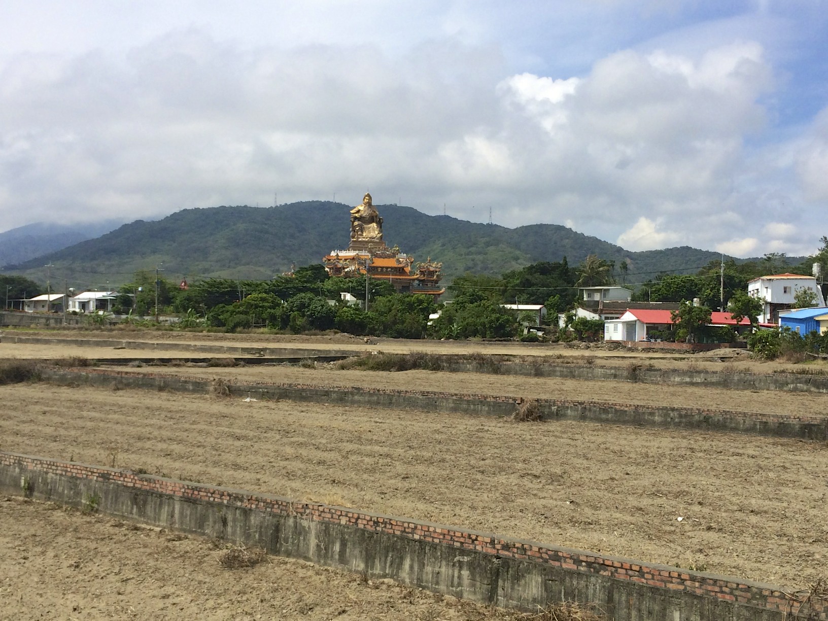
Finally I reached the coastal plains! I had biked from one side of the country to the other! I was left with a relatively flat 25KM ride to my hotel.
I made it!
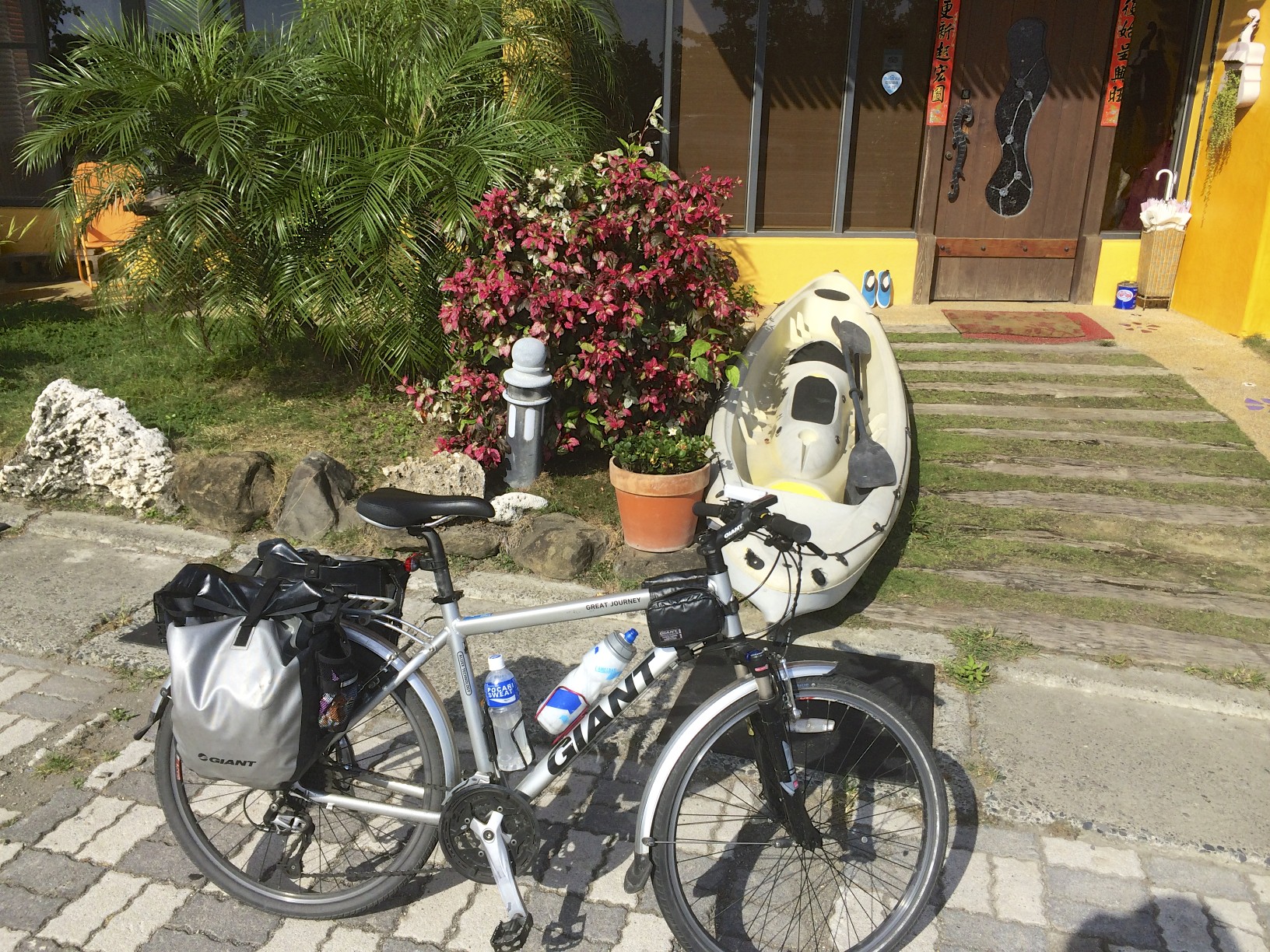
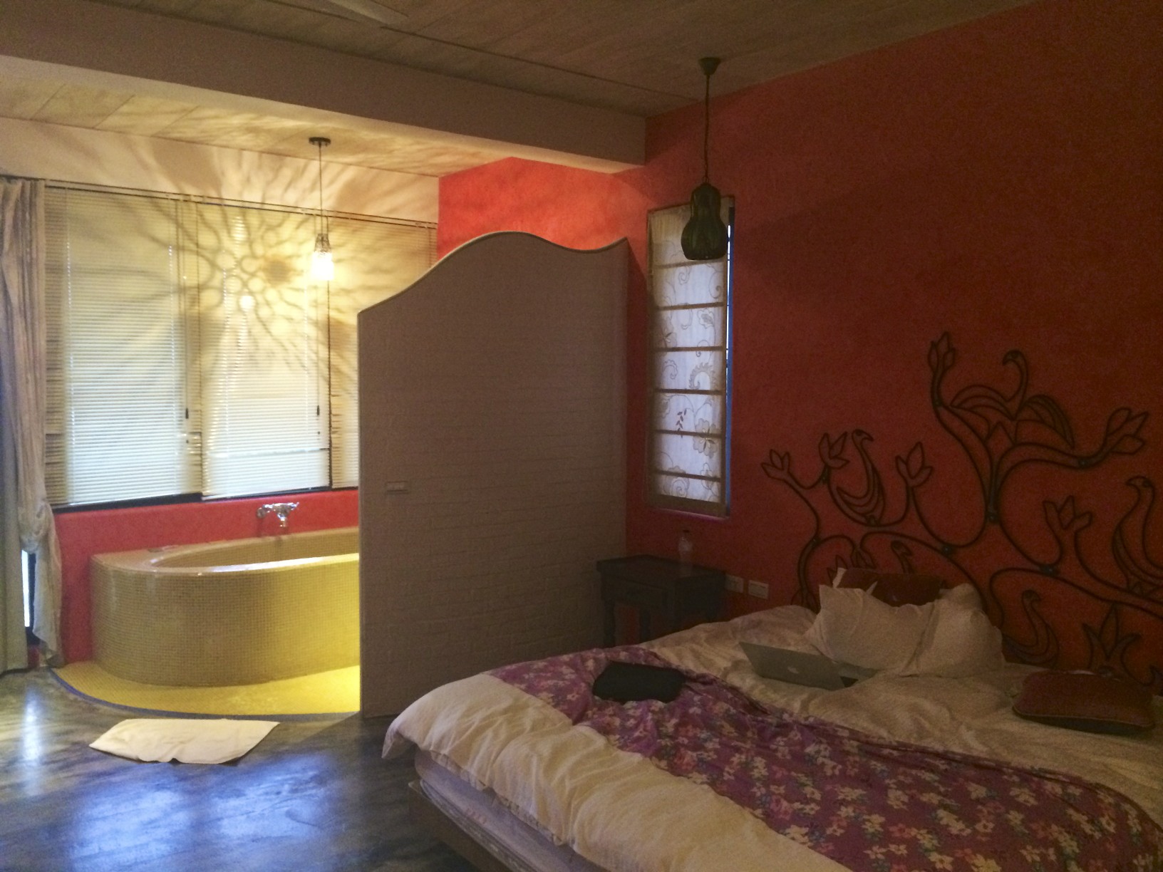
After a long day of cycling, an air conditioned room never looked so good…
All said and done, the total distance of the tour was 314KM over 4 days.